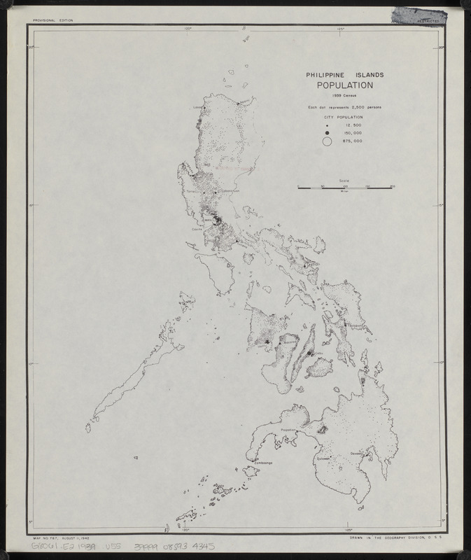
Philippine Islands population, 1939 census
Item Information
- Title:
- Philippine Islands population, 1939 census
- Cartographer:
- United States. Office of Strategic Services. Geography Division
- Name on Item:
-
drawn in the Geography Division, O.S.S.
- Date:
-
1942
- Format:
-
Maps/Atlases
- Location:
-
Boston Public Library
Norman B. Leventhal Map & Education Center - Collection (local):
-
Norman B. Leventhal Map & Education Center Collection
- Subjects:
-
Population density--Philippines--Maps
Philippines--Population--Maps
- Places:
-
Philippines
- Extent:
- 1 map ; 36 x 29 cm
- Terms of Use:
-
No known copyright restrictions.
No known restrictions on use.
- Publisher:
-
[Washington, D.C.?] :
[O.S.S.]
- Edition:
- Provisional edition
- Scale:
-
Scale approximately 1:4,900,000
- Language:
-
English
- Notes:
-
Map no. 787.
"August 11, 1942."
- Identifier:
-
06_01_015308
- Call #:
-
G8061.E2 1939 .U55
- Barcode:
-
39999085934345


