Search Constraints
Search Results


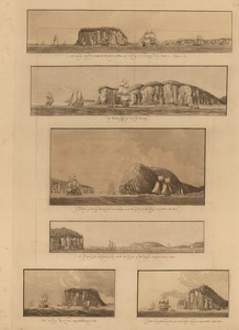
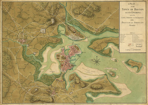
10. Annapolis Royal


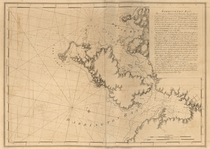
12. Barrington Bay


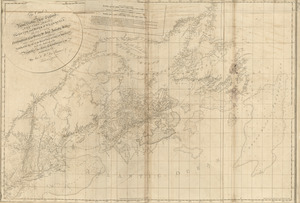
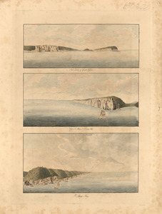
15. Charlotte Bay
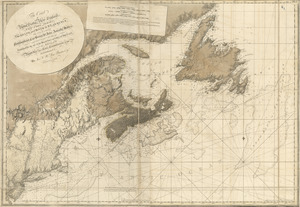
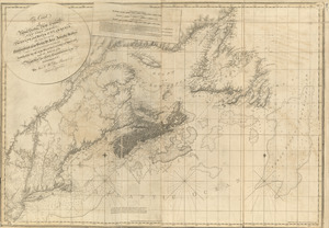
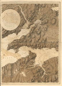
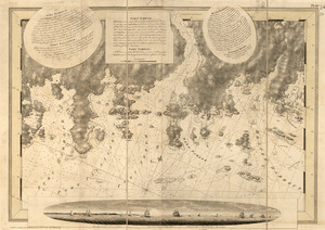
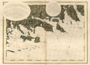
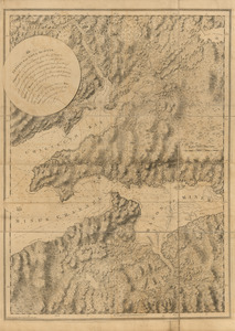
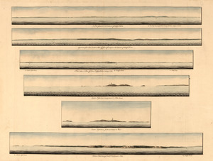
![[Chignecto Bay and vicinity]](https://bpldcassets.blob.core.windows.net/derivatives/images/commonwealth:z603vj91v/image_thumbnail_300.jpg)

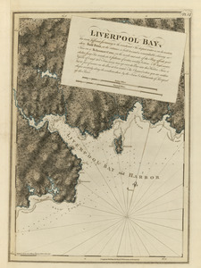
20. Liverpool Bay
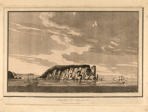
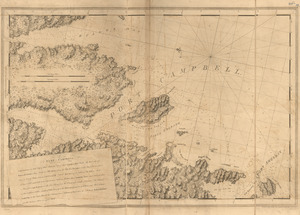
23. Port Campbell
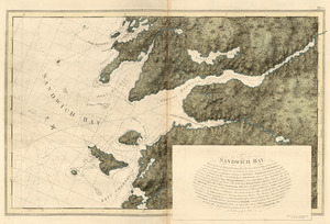
24. Sandwich Bay

28. White Haven


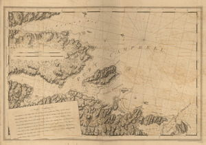
33. Port Campbell
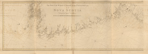
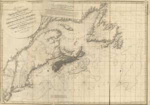
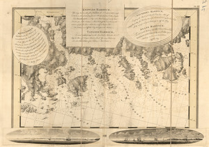
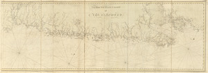
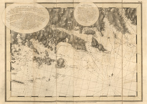
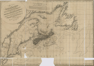
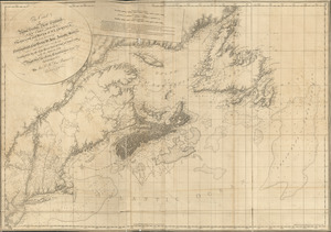
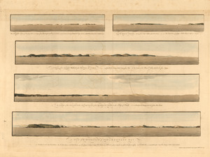
![[Southwest coast of Nova Scotia from Cape Sable to Cape St. Mary]](https://bpldcassets.blob.core.windows.net/derivatives/images/commonwealth:t722hs72c/image_thumbnail_300.jpg)

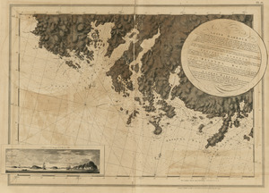
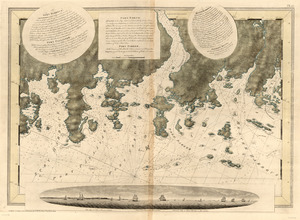
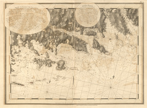
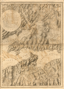
![[Chignecto Bay and vicinity]](https://bpldcassets.blob.core.windows.net/derivatives/images/commonwealth:z603vj89t/image_thumbnail_300.jpg)


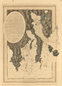
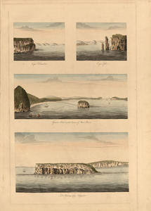
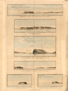
43. Egmont Harbor

44. Egmont Harbor
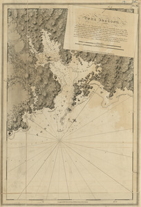
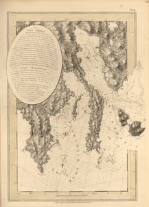
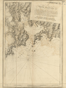
50. Port Jackson
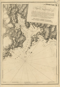
51. Port Jackson
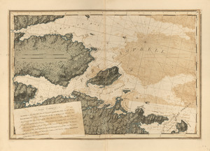
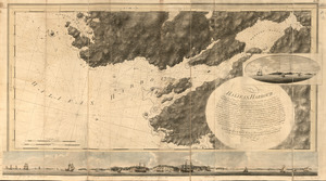
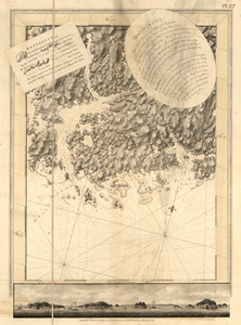
![[Torbay]](https://bpldcassets.blob.core.windows.net/derivatives/images/commonwealth:z603vj97h/image_thumbnail_300.jpg)
56. [Torbay]
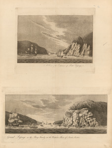
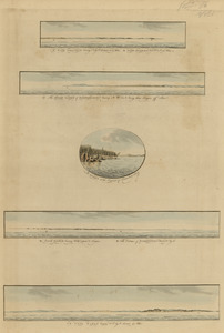
57. White Haven

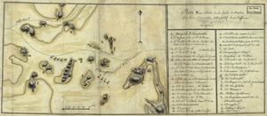
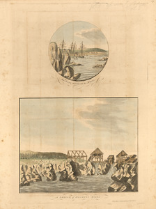
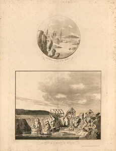
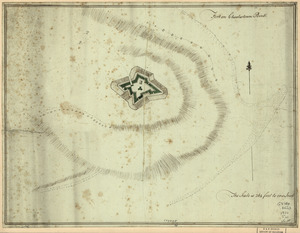
![A Temporary project for a star redout [sic] to contain 150 men](https://bpldcassets.blob.core.windows.net/derivatives/images/commonwealth:z603vj703/image_thumbnail_300.jpg)

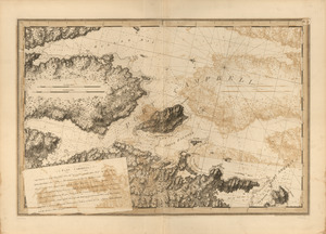
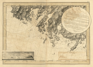
![[Chignecto Bay and vicinity]](https://bpldcassets.blob.core.windows.net/derivatives/images/commonwealth:z603vj878/image_thumbnail_300.jpg)
![[Chignecto Bay and vicinity]](https://bpldcassets.blob.core.windows.net/derivatives/images/commonwealth:z603vj85q/image_thumbnail_300.jpg)
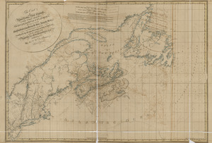
81. Port Jackson
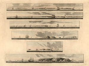
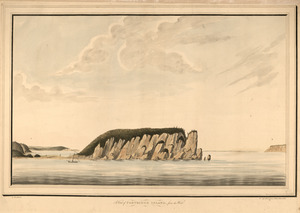


90. Barrington Bay


97. Port Campbell
98. Port Campbell
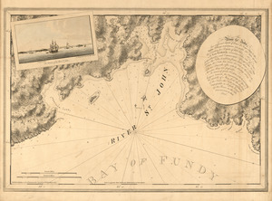
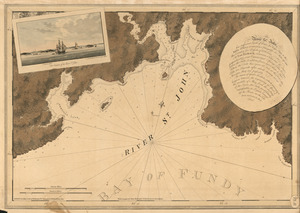
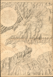
![[River St. John]](https://bpldcassets.blob.core.windows.net/derivatives/images/commonwealth:dz010t93f/image_thumbnail_300.jpg)