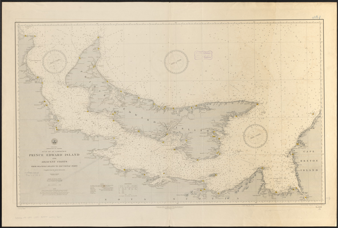
North America, Dominion of Canada, Gulf of St. Lawrence, Prince Edward Island and adjacent coasts, from Sea Wolf Island to Escuminac Point : compiled from the latest information
Item Information
- Title:
- North America, Dominion of Canada, Gulf of St. Lawrence, Prince Edward Island and adjacent coasts, from Sea Wolf Island to Escuminac Point : compiled from the latest information
- Title (alt.):
-
Prince Edward Island and adjacent coasts, from Sea Wolf Island to Escuminac Point
- Issuing body:
- United States. Hydrographic Office
- Draftsman:
- Roberts, A. C. (Arthur Carr)
- Engraver:
- Ruebsam, A. C. (Adolph C.)
- Engraver:
- Sefton, W. P. (William P.)
- Name on Item:
-
drawn by A.C. Roberts ; engraved by W.P. Sefton and A.C. Ruebsam
- Date:
-
1889
- Format:
-
Maps/Atlases
- Location:
-
Boston Public Library
Norman B. Leventhal Map & Education Center - Collection (local):
-
Norman B. Leventhal Map & Education Center Collection
- Subjects:
-
Coasts--Prince Edward Island--Maps
Coasts--New Brunswick--Maps
Coasts--Nova Scotia--Maps
Nautical charts--Prince Edward Island
Nautical charts--Northumberland Strait
Prince Edward Island--Maps
Northumberland Strait--Maps
- Places:
-
CanadaDétroit de Northumberland (strait)
- Extent:
- 1 map : hand colored ; 57 x 96 cm
- Terms of Use:
-
No known copyright restrictions.
No known restrictions on use.
- Publisher:
-
[Washington, D.C.] :
Hydrographic Office
- Edition:
- Edition of August 1888
- Scale:
-
Scale approximately 1:315,000
- Language:
-
English
- Notes:
-
Relief shown by hachures and spot heights. Depths shown by soundings and isolines.
In lower left: 1888,13. '89-1-.
- Identifier:
-
06_01_015694
- Call #:
-
G9096.P5 svar .U55
- Barcode:
-
39999085939187


