Toggle navigation
LMEC Home
Exhibitions
Georeferencing
Tools for Teachers
Collections
My Favorites
Sign Up / Log In
Search
Search the map portal
Map Collection
Map Collection
Map Sets
Search
Search
Search for
Search In
All Fields
Creator
Title
Subject
Place
Search All Digital Collections
Advanced Search
8700 Results
My Search
Start Over
More Like
commonwealth:q524n4750
Remove constraint More Like: commonwealth:q524n4750
Filter your Search
Place
North and Central America
5,931
United States
4,846
Massachusetts
2,079
Europe
1,396
Suffolk (county)
1,046
Boston
1,019
Canada
451
Asia
438
more
Place
»
Topic
Boston (Mass.)--Maps
586
United States--Maps
282
Real property--Massachusetts--Boston--Maps
175
Massachusetts--Maps
162
Landowners--Massachusetts--Boston--Maps
133
North America--Maps--Early works to 1800
104
New England--Maps
102
Europe--Maps
79
more
Topic
»
Date
Date range begin
–
Date range end
Current results range from
1482
to
2023
View distribution
Creator
United States. Hydrographic Office
595
O.H. Bailey & Co
148
Des Barres, Joseph F. W. (Joseph Frederick Wallet), 1722-1824
123
United States. Post Office Dept
120
Ptolemy, 2nd cent
100
Walling, Henry Francis, 1825-1888
94
Geological Survey (U.S.)
86
Jefferys, Thomas, -1771
84
more
Creator
»
Format
Maps/Atlases
8,639
Manuscripts
216
Prints
56
Books
36
Objects/Artifacts
10
Drawings/Illustrations
8
Posters
5
Documents
1
Georeferenced
Yes
869
No
7,831
Collection
Norman B. Leventhal Map & Education Center Collection
8,694
Boston and New England Maps
2,233
Urban Maps
2,023
Maritime Charts and Atlases
1,083
American Revolutionary War-Era Maps
620
Boston Redevelopment Authority Collection
87
American Antiquarian Society Collection
1
New-York Historical Society Collection
1
more
Collection
»
Available to use
No known restrictions
8,554
Creative Commons license
48
Search Constraints
Sort by relevance
relevance
title
date (asc)
date (desc)
Number of results to display per page
20 per page
10
per page
20
per page
50
per page
100
per page
View results as:
grid view
map view
Search Results
1.
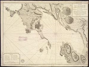
A plan of the city, and fortifications, of Louisburg
2.
A plan of the city & harbour of Louisburg : shewing that part of Gabarus Bay in which the English landed, also their encampment...
3.
A Plan of the city & fortifications of Louisburg
4.
Plan du port et de la ville de Louisbourg : avec ses batteries et sa perspective, où est réprésenté les batteries faites...
5.
Plan de la ville et du port de Louisbourg levé en 1756
6.
Particular draughts and plans of some of the principal towns and harbours belonging to the English, French, and Spaniards, in...
7.
Vorstellung einiger Gegenden und Plaetze in Nord-America unter Franzoesisch und Englische Jurisdiction gehoerig
8.
An accurate map of His Majesty's province of New-Hampshire in New England : taken from actual surveys of all the inhabited...
9.
A new and accurate map of the English empire in North America : representing their rightful claim as confirm'd by charters, and...
10.
An accurate map of His Majesty's province of New-Hampshire in New England : taken from actual surveys of all the inhabited...
11.
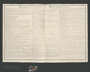
Explanation of the references
12.
A new & accurate map of the provinces of North & South Carolina Georgia &c
13.
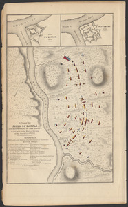
A plan of the field of battle and disposition of the troops as they were on the march at the time of the attack, July 9th, 1755
14.
The 100th anniversary map of Abraham Lincoln's visit to Massachusetts, September 11-23, 1848
15.
1630 shoreline
16.
1879. Progress map of the U.S. Geographical Surveys west of the 100th Meridian : prepared under the direction of 1st Lieut....
17.
1903 Map of Salem and surrounding places
18.
19th annual convention of the National Association of Real Estate Boards : at Tulsa, June 7 to June 11 in 1926
19.
2005 significant U.S. hurricane strikes
20.
The 2100 project : an atlas for the Green New Deal
‹ Prev
Next ›
1
2
3
4
5
…
434
435