Toggle navigation
LMEC Home
Exhibitions
Georeferencing
Tools for Teachers
Collections
My Favorites
Sign Up / Log In
Search
Search the map portal
Map Collection
Map Collection
Map Sets
Search
Search
Search for
Search In
All Fields
Creator
Title
Subject
Place
Search All Digital Collections
Advanced Search
163 Results
My Search
Start Over
More Like
commonwealth:np198969j
Remove constraint More Like: commonwealth:np198969j
Filter your Search
Place
North and Central America
152
United States
148
Massachusetts
124
Hampden (county)
21
Springfield
19
Middlesex (county)
17
Worcester (county)
11
Bristol (county)
9
more
Place
»
Topic
Massachusetts--Maps
22
Springfield (Mass.)--Maps
20
Real property--Massachusetts--Springfield--Maps
13
Longmeadow (Mass.)--Maps
7
Real property--Massachusetts--Longmeadow--Maps
7
Landowners--Massachusetts--Springfield--Maps
6
Boston (Mass.)--Maps
5
Dedham (Mass.)--Maps
5
more
Topic
»
Date
Date range begin
–
Date range end
Current results range from
1827
to
2010
View distribution
Creator
Applied Geographics, Inc.
60
MassGIS (Office : Mass.)
56
Massachusetts. Executive Office of Environmental Affairs
32
Geological Survey (U.S.)
10
Massachusetts Bays Program
8
Massachusetts Coastal Zone Management Office
8
National Ocean Survey
6
Richards Map Company
5
more
Creator
»
Format
Maps/Atlases
162
Manuscripts
2
Ephemera
1
Georeferenced
No
163
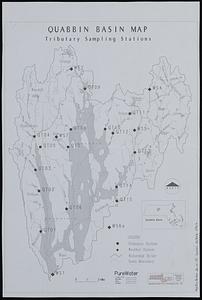
Collection
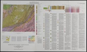
Norman B. Leventhal Map & Education Center Collection
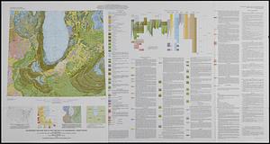
158
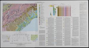
Applied Geographics, Inc. Records
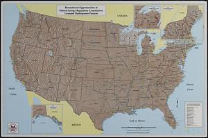
143
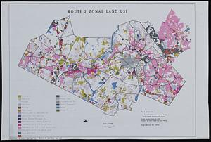
Boston and New England Maps
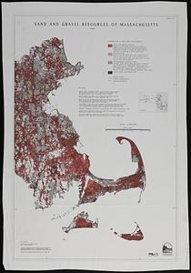
126
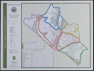
Urban Maps
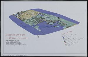
35
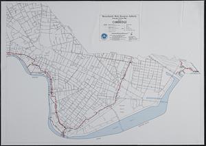
Maritime Charts and Atlases
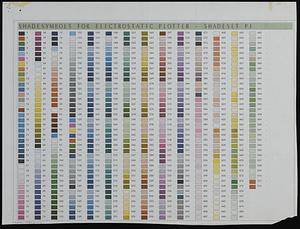
17
Massachusetts Real Estate Atlases
5
Available to use
No known restrictions
158
Search Constraints
Sort by relevance
relevance
title
date (asc)
date (desc)
Number of results to display per page
20 per page
10
per page
20
per page
50
per page
100
per page
View results as:
grid view
map view
Search Results
101.
Outline map of the coastal area of Bristol County, Mass. showing wetlands, political boundaries, and ponds & streams
102.
Pacific Ocean, central part
103.
Pilot chart of the North Atlantic Ocean
104.
Planimetric data, Reading, MA
105.
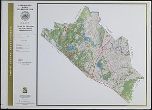
Preliminary road classification town of Dedham, Norfolk County, Massachusetts
106.
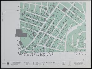
Property map town of Bellingham sheet 98
107.
DEM protected open space
108.
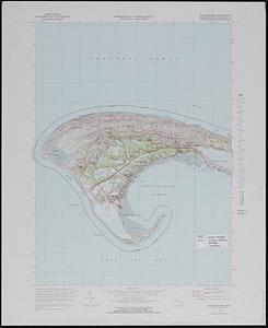
Provincetown quadrangle, Massachusetts-Barnstable Co., 1972 : 7.5 minute series (topographic)
109.
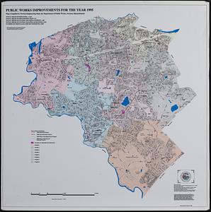
Public works improvements for the year 1995
110.
Quabbin basin map tributary sampling stations
111.
Quaternary geologic map of the Blue Ridge 4° x 6° quadrangle, United States
112.
Quaternary geologic map of the Chicago 4° x 6° quadrangle, United States
113.
Quaternary geologic map of the Savannah 4° x 6° quadrangle, United States
114.
Recreational opportunities at Federal Energy Regulatory Commission licensed hydropower projects
115.
Route 2 zonal land use
116.
Sand and gravel resources of Massachusetts sheet 2
117.
Sanding routes map : town of Dedham, Norfolk County, Massachusetts
118.
Selected land use in oblique perspective
119.
Sewerage division map city of Cambridge
120.
Shade symbols for electrostatic plotter - shadeset P1
‹ Prev
Next ›
1
2
3
4
5
6
7
8
9