Provincetown quadrangle, Massachusetts-Barnstable Co., 1972 : 7.5 minute series (topographic)
Item Information
- Title:
- Provincetown quadrangle, Massachusetts-Barnstable Co., 1972 : 7.5 minute series (topographic)
- Publisher:
- Geological Survey (U.S.)
- Name on Item:
-
mapped, edited and published by the Geological Survey
- Date:
-
1978
- Format:
-
Maps/Atlases
- Genre:
-
Topographic maps
- Location:
-
Boston Public Library
Norman B. Leventhal Map & Education Center - Collection (local):
-
Applied Geographics, Inc. Records
- Subjects:
-
Provincetown (Mass.)--Maps
Drainage--Massachusetts--Provincetown--Maps
- Places:
-
MassachusettsBarnstable (county)Provincetown
- Extent:
- 1 map : color ; 65 x 45 cm
- Terms of Use:
-
No known copyright restrictions.
No known restrictions on use.
- Publisher:
-
Reston, VA :
Geological Survey
- Language:
-
English
- Notes:
-
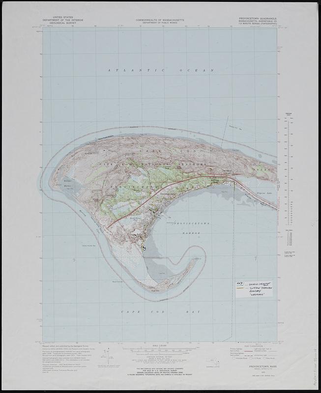
Includes manuscript annotations in ink and color showing Gosnold catchement area and surface drainage boundary "watershed."
Relief shown by contours and spot heights.
"Contour interval 10 feet."
Includes quadrangle location map and conversion scales.
"Planimetry by photogrammetric methods from aerial photographs taken 1938. Topography by planetable surveys 1941. Revised from aerial photographs taken 1971. Field checked 1972."
Map printed in 1978.
"N4200--W7007.5/7.5."
"AMS 6968 II SW--Series V814."
- Identifier:
-
06_01_019110
- Call #:
-
AppGeo Folder 35 no.14


