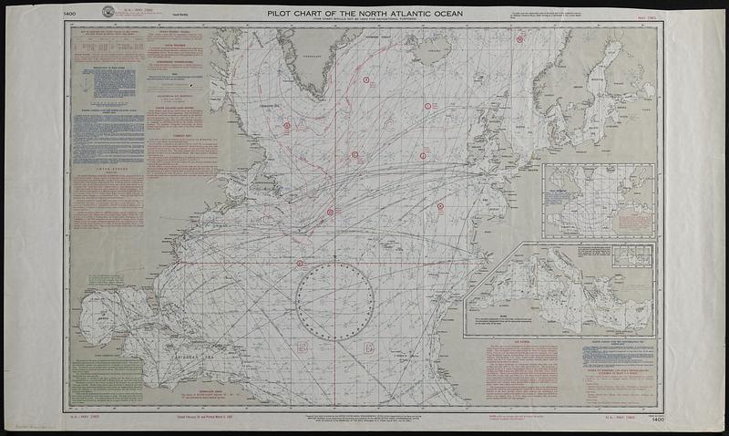
Pilot chart of the North Atlantic Ocean
Item Information
- Title:
- Pilot chart of the North Atlantic Ocean
- Publisher:
- United States. Naval Oceanographic Office
- Date:
-
1965
- Format:
-
Maps/Atlases
- Genre:
-
Thematic maps
- Location:
-
Boston Public Library
Norman B. Leventhal Map & Education Center - Collection (local):
-
Applied Geographics, Inc. Records
- Subjects:
-
North Atlantic Ocean--Maps
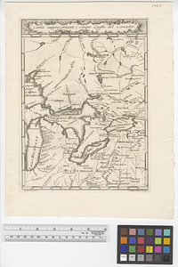
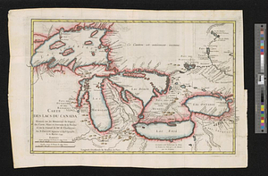
Great Lakes (North America)--Maps
Pilot guides--North Atlantic Ocean--Maps
Pilot guides--Great Lakes (North America)
Ocean currents--North Atlantic Ocean--Maps
- Places:
-
Great Lakes
Atlantic Ocean
- Extent:
- 1 map : color ; 60 x 93 cm
- Terms of Use:
-
No known copyright restrictions.
No known restrictions on use.
- Publisher:
-
Washington, D.C. :
U.S. Naval Oceanographic Office
- Edition:
- May 1965.
- Scale:
-
Scale approximately 1:15,000,000
- Language:
-
English
- Notes:
-
"N.A. - May 1965."
"Closed February 26 and printed March 8, 1965."
Shows storm tracks, wind roses, ocean station vessels, currents, fog.
Includes text.
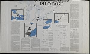
On verso: Great Lakes pilotage.
Insets: [Mean pressure, gales] -- [Mediterranean Sea].
- Identifier:
-
06_01_019104
- Call #:
-
AppGeo Folder 34 no.11
![Wind and current chart of the North Atlantic [sheet 1]](https://bpldcassets.blob.core.windows.net/derivatives/images/commonwealth:jh344151t/image_thumbnail_300.jpg)