Toggle navigation
LMEC Home
Exhibitions
Georeferencing
Tools for Teachers
Collections
My Favorites
Sign Up / Log In
Search
Search the map portal
Map Collection
Map Collection
Map Sets
Search
Search
Search for
Search In
All Fields
Creator
Title
Subject
Place
Search All Digital Collections
Advanced Search
181 Results
My Search
Start Over
More Like
commonwealth:z316w561b
Remove constraint More Like: commonwealth:z316w561b
Filter your Search
Place
North and Central America
153
United States
136
Massachusetts
109
Atlantic Ocean
21
Great Lakes
17
Middlesex (county)
17
Bristol (county)
9
Plymouth (county)
8
more
Place
»
Topic
North Atlantic Ocean--Maps
20
Massachusetts--Maps
19
Great Lakes (North America)--Maps
18
Nautical charts--North Atlantic Ocean
9
North Atlantic Ocean--Navigation
7
Atlantic Coast (U.S.)--Maps
4
Canada--Maps
4
Dedham (Mass.)--Maps
4
more
Topic
»
Date
Date range begin
–
Date range end
Current results range from
1668
to
2010
View distribution
Creator
Applied Geographics, Inc.
61
MassGIS (Office : Mass.)
56
Massachusetts. Executive Office of Environmental Affairs
32
Geological Survey (U.S.)
9
Massachusetts Bays Program
8
Massachusetts Coastal Zone Management Office
8
United States. Hydrographic Office
7
National Ocean Survey
6
more
Creator
»
Format
Maps/Atlases
180
Ephemera
1
Georeferenced
Yes
2
No
179
Collection
Norman B. Leventhal Map & Education Center Collection
163
Applied Geographics, Inc. Records
143
Boston and New England Maps
117
Urban Maps
28
Maritime Charts and Atlases
23
American Revolutionary War-Era Maps
19
William L. Clements Library Collection
15
American Antiquarian Society Collection
2
more
Collection
»
Available to use
No known restrictions
161
Search Constraints
Sort by relevance
relevance
title
date (asc)
date (desc)
Number of results to display per page
20 per page
10
per page
20
per page
50
per page
100
per page
View results as:
grid view
map view
Search Results
1.
Wind and current chart of the North Atlantic [sheet 1]
2.
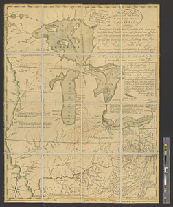
An accurate map of Canada, with the adjacent countries; exhibiting the late seat of war between the English & French in those...
3.
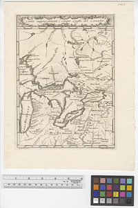
Carta rappresentante i cinque laghi del Canada
4.
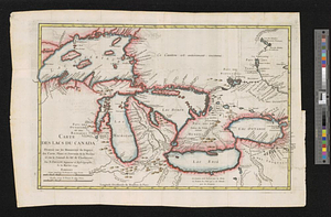
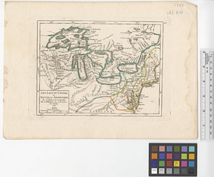
Carte des lacs du Canada dressée sur les manuscrits du Depost des Cartes, Plans et Journaux de la Marine et sur le journal du...
5.
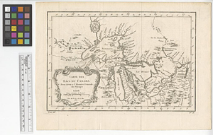
Carte des lacs du Canada pour servir à l'Histoire générale des voyages
6.
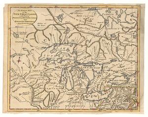
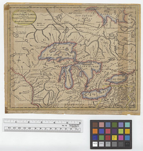
An exact map of the five great lakes, with part of Pensilvania, New York, Canada and Hudson Bay territories : from the best...
7.
An exact map of the five Great Lakes, with part of Pensilvania, New York, Canada and Hudsons Bay territories from the best surveys
8.
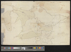
The Great Lakes and the Ohio, ca. 1800
9.
Karte von den seen in Canada
10.
Les lacs du Canada et Nouvelle Angleterre
11.
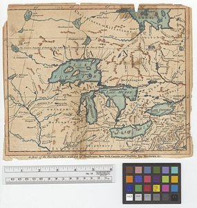
A map of the five Great Lakes with part of Pensilvania, New York, Canada and Hudsons Bay territories &c.
12.
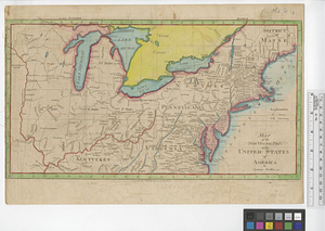
A map of the north west parts of the United States of America
13.
Map of the northern part of the United States of America
14.
A new map of Canada, also the north parts of New England and New York; with Nova Scotia and Newfound Land
15.
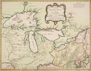
Partie occidentale de la Nouvelle France ou Canada
16.
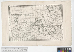
Partie occidentale du Canada, : contenant les cinq Grands Lacs, avec les pays circonvoisins
17.
Partie occidentale du Canada contenant les cinq Grands Lacs, avec les pays circonvoisons
18.
Partie occidentale du Canada contenant les cinqs grands lac [sic], avec les pays criconvoisins [sic]
19.
Upper Canada and the Great Lakes region
20.
British Isles
‹ Prev
Next ›
1
2
3
4
5
…
9
10
![Wind and current chart of the North Atlantic [sheet 1]](https://bpldcassets.blob.core.windows.net/derivatives/images/commonwealth:jh344151t/image_thumbnail_300.jpg)


![Partie occidentale du Canada contenant les cinqs grands lac [sic], avec les pays criconvoisins [sic]](https://bpldcassets.blob.core.windows.net/derivatives/metadata/commonwealth-oai:tx31vg299/image_thumbnail_300.jpg)