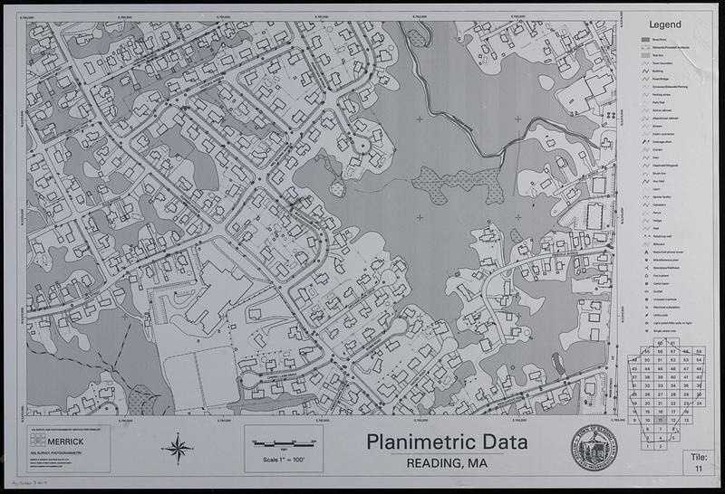
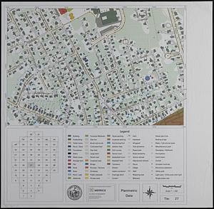
Planimetric data, Reading, MA
Item Information
- Title:
- Planimetric data, Reading, MA
- Cartographer:
- Merrick and Company
- Name on Item:
-
GIS, survey, and photogrammetry services performed by Merrick
- Date:
-
[ca. 1995–2005]
- Format:
-
Maps/Atlases
- Genre:
-
Remote-sensing maps
- Location:
-
Boston Public Library
Norman B. Leventhal Map & Education Center - Collection (local):
-
Applied Geographics, Inc. Records
- Subjects:
-
Reading (Mass.)--Maps
Reading (Mass.)--Photomaps
Land cover--Massachusetts--Reading--Maps
- Places:
-
MassachusettsMiddlesex (county)Reading
- Extent:
- 5 maps : color ; 51 x 76 cm, on sheets 90 x 92 or smaller
- Terms of Use:
-
No known copyright restrictions.
No known restrictions on use.
- Publisher:
-
Aurora, Colorado :
Merrick
- Language:
-
English
- Table of Contents:
-
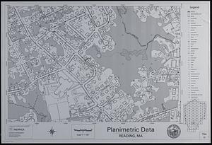
Planimetric data tile 11
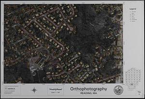
Orthophotography tile 11
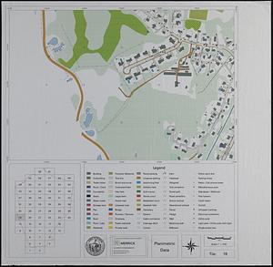
Planimetric data tile 19
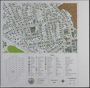
Planimetric data tile 21
Planimetric data tile 27
- Identifier:
-
06_01_019015
06_01_019016
06_01_019017
06_01_019018
06_01_019019
- Call #:
-
AppGeo Folder 8 no. 4-8