Search Constraints
Search Results


508. MBTA map : 1977-1978


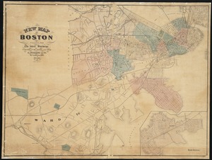
538. New map of Boston


565. Open space 2017


569. Percent foreign-born


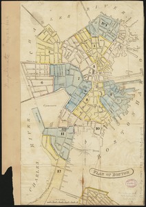
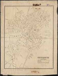
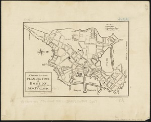
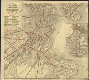
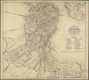
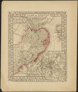
575. Plan of Boston
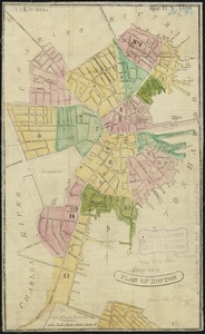
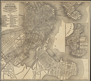
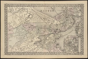
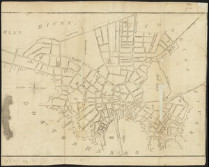
576. Plan of Boston
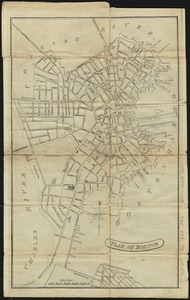
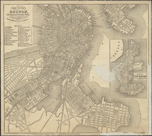
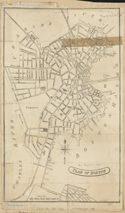
577. Plan of Boston
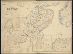
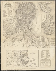
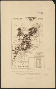
578. Plan of Boston
579. Plan of Boston
580. Plan of Boston
581. Plan of Boston
582. Plan of Boston
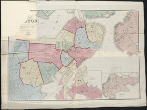
583. Plan of Boston
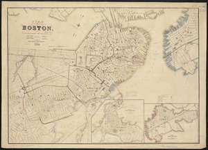
584. Plan of Boston
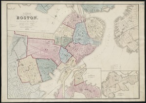
585. Plan of Boston
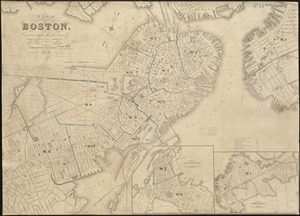
586. Plan of Boston
587. Plan of Boston

588. Plan of Boston