Search Constraints
Search Results


156. Conceptual plan


160. Conceptual plan


164. Downtown Boston


172. Union Park


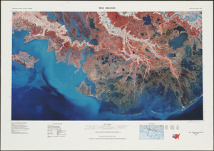
178. New Orleans


182. Southern Asia


184. British Isles


195. T system map


197. Parcel D-10


