Toggle navigation
LMEC Home
Exhibitions
Georeferencing
Tools for Teachers
Collections
My Favorites
Sign Up / Log In
Search
Search the map portal
Map Collection
Map Collection
Map Sets
Search
Search
Search for
Search In
All Fields
Creator
Title
Subject
Place
Search All Digital Collections
Advanced Search
382 Results
My Search
Start Over
More Like
commonwealth:hx11z575j
Remove constraint More Like: commonwealth:hx11z575j
Filter your Search
Place
North and Central America
341
United States
215
Canada
103
Essex (county)
24
Louisbourg
21
Suffolk (county)
20
Saint Lawrence River
19
Boston
18
more
Place
»
Topic
United States--History--French and Indian War, 1754-1763--Maps, Manuscript--Early works to 1800
58
Louisbourg (N.S.)--Maps, Manuscript--Early works to 1800
18
Fort Edward (N.Y.)--Maps, Manuscript--Early works to 1800
16
Fort Ticonderoga (N.Y.)--Maps, Manuscript--Early works to 1800
15
Saint Lawrence River--Maps, Manuscript--Early works to 1800
15
Louisbourg (N.S.)--History--Siege, 1745--Maps, Manuscript--Early works to 1800
14
Fortification--New York (State)--Fort Edward--Maps, Manuscript--Early works to 1800
13
Fortification--New York (State)--Maps, Manuscript--Early works to 1800
13
more
Topic
»
Date
Date range begin
–
Date range end
Current results range from
1664
to
1879
View distribution
Creator
Royal United Services Institute for Defence and Security Studies
160
George, III, King of Great Britain, 1738-1820
151
George, IV, King of Great Britain, 1762-1830
150
Amherst, Jeffery Amherst, Baron, 1717-1797
128
Skinner, Monier
28
Skinner, William, 1700-1780
28
Brasier, William
16
Bastide, John Henry, approximately 1700-1770
15
more
Creator
»
Format
Maps/Atlases
365
Manuscripts
155
Drawings/Illustrations
15
Georeferenced
Yes
7
No
375
Collection
British Library Collection
376
American Revolutionary War-Era Maps
357
Boston and New England Maps
23
Urban Maps
8
Library of Congress Collection
3
Norman B. Leventhal Map Center Collection
3
Maritime Charts and Atlases
2
Available to use
Creative Commons license
379
No known restrictions
3
Search Constraints
Sort by date (asc)
relevance
title
date (asc)
date (desc)
Number of results to display per page
20 per page
10
per page
20
per page
50
per page
100
per page
View results as:
grid view
map view
Search Results
361.
To his Excellency Gen.l Washington Commander in Chief of the Armies of the United States of America This Plan of the investment...
362.
[Map showing the attack of the French upon York in Virginia, June 1782]
363.
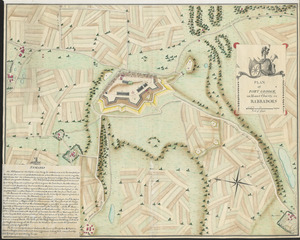
PLAN of FORT GEORGE, on Mount Charity, in BARBADOES
364.
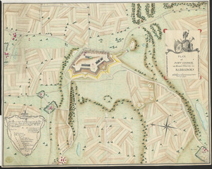
PLAN of FORT GEORGE, on Mount Charity, in BARBADOES
365.
BOWLES'S NEW POCKET MAP OF THE UNITED STATES OF AMERICA : WITH THE BRITISH POSSESSIONS OF CANADA, NOVA SCOTIA, AND OF...
366.
PLAN of the COMMUNICATION from TOWNSHIP No 8 to CATARAQUI as Surveyed by M.r Louis Kott Dep.t Prov.l Surv
367.
Plan of the Settlement on the Bay of Quinte
368.
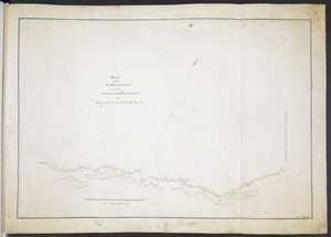
[A map showing the post route between the River St. Lawrence and the Bay of Fundy] : [on a scale of 5 1/3 miles to an inch.]
369.
[A map showing the post route between the River St. Lawrence and the Bay of Fundy] : [on a scale of 5 1/3 miles to an inch.]
370.
[Plan of Boston neck]
371.
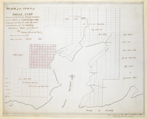
PLAN of the TOWN of BELLE VIEU situated on the East side Beaver Harbour in the District of Passamaquoddy
372.
PLAN of The TOWN of SHELBURNE projected and laid out By Order of his Excell,y IOHN PARR Esqr Capt,n Gen,l Governor & Commander...
373.
A PLAN of the TOWN of St ANDREWS Situated at the Head of Passamaquoddy Bay-laid out for the Accomodation of Loyal Emigrants &...
374.
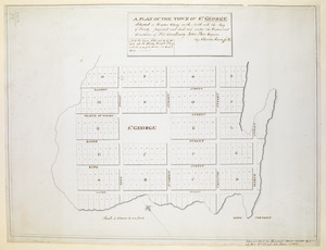
A PLAN OF THE TOWN OF ST. GEORGE Situated in Harbor Etang on the North side the Bay of Fundy, projected and laid out under the...
375.
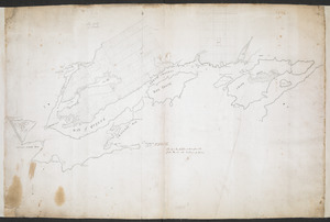
[A map of Nova Scotia showing the post roads]
376.
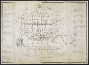
ICHNOGRAPHY OF CHARLESTON, South Carolina
377.
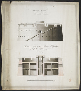
ELEVATION and SECTION of the TOWER at POINT PLEASANT
378.
PLAN of the TOWER at POINT PLEASANT for the protection of the Sea Batteries at that place and for the defence of the Harbour of...
379.
SKETCH of the MARCH of the BRITISH ARMY, under GENERAL ROSS, from the 19th to the 29th Aug.t
380.
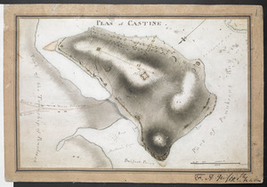
PLAN of CASTINE
‹ Prev
Next ›
1
2
…
15
16
17
18
19
20
![[Map showing the attack of the French upon York in Virginia, June 1782]](https://bpldcassets.blob.core.windows.net/derivatives/images/commonwealth:hx11xz51j/image_thumbnail_300.jpg)

![[A map showing the post route between the River St. Lawrence and the Bay of Fundy]](https://bpldcassets.blob.core.windows.net/derivatives/images/commonwealth:hx11z4963/image_thumbnail_300.jpg)
![[A map showing the post route between the River St. Lawrence and the Bay of Fundy]](https://bpldcassets.blob.core.windows.net/derivatives/images/commonwealth:hx11z498n/image_thumbnail_300.jpg)
![[Plan of Boston neck]](https://bpldcassets.blob.core.windows.net/derivatives/images/commonwealth:9s161g52n/image_thumbnail_300.jpg)


![[A map of Nova Scotia showing the post roads]](https://bpldcassets.blob.core.windows.net/derivatives/images/commonwealth:hx11z494j/image_thumbnail_300.jpg)