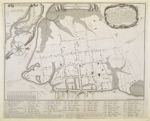
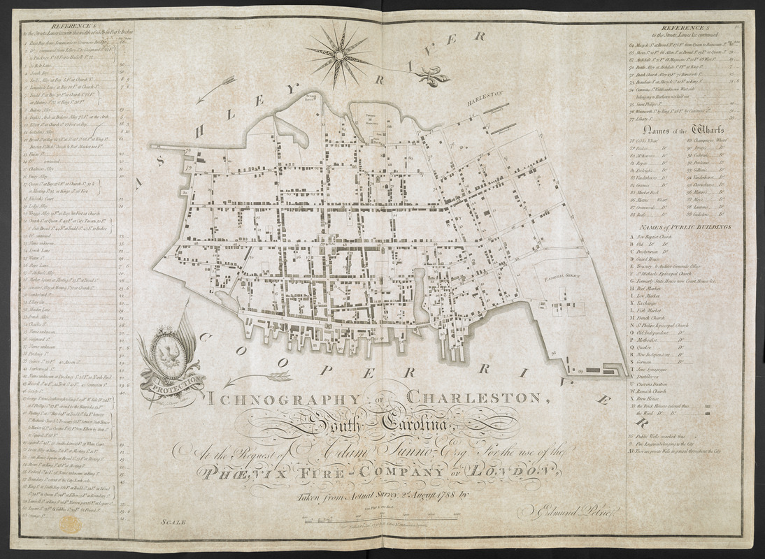
ICHNOGRAPHY OF CHARLESTON, South Carolina
This map is also available in American Revolutionary Geographies Online (ARGO), a collections portal especially built for material relating to the American Revolutionary War Era. Visit ARGO to learn more about this item and explore the historical geography of North America in the late eighteenth century.
Item Information
- Title:
- ICHNOGRAPHY OF CHARLESTON, South Carolina
- Surveyor:
- Petrie, E. (Edmund)
- Former owner:
- George, III, King of Great Britain, 1738-1820
- Donor:
- George, IV, King of Great Britain, 1762-1830
- Contributor:
- Blake, William Stadden, 1747?-1814
- Contributor:
- Tunno, Adam
- Contributor:
- Phoenix Fire-Company of London
- Name on Item:
-
At the Request of Adam Tunno Esq. for the use of the PHOENIX FIRE-COMPANY OF LONDON, Taken from Actual Survey 2d August 1788 by Edmund Petrie.
- Date:
-
1790
- Format:
-
Maps/Atlases
- Location:
- British Library
- Collection (local):
-
British Library Collection
- Subjects:
-
Charleston (S.C.)--Maps--Early works to 1800
- Places:
-
Charleston (county)Charleston
- Extent:
- 1 map : copperplate engraving ; 49 x 69 cm
- Terms of Use:
-
No known copyright restrictions.
This work is licensed for use under a Creative Commons Attribution Non-Commercial Share Alike License (CC BY-NC-SA).

- Publisher:
-
[London] :
Published 1.st Jan.y 1790 by E Petrie N.o 13 America Square
- Scale:
-
Scale approximately 1:4,800
- Language:
-
English
- Catalog Record:
-
http://explore.bl.uk/BLVU1:LSCOP-ALL:BLL01004818457
- Notes:
-
Scale "400 Feet to one Inch" at lower centre.
Oriented with north to the right of the map.
With a numbered (1-77 and 78-99) and lettered (A-X) key at either side of the map identifying streets and buildings of note.
With the engraved emblem of the Phoenix Fire Company showing "PROTECTION" at centre left by "Blake Sc. Change Alley".
Believed to be the earliest fire insurance map published - Ristow.
A reduced version of the map was later published in Charleston (Wheat and Brun, Maps and charts published in America before 1800, 599).
Titled "Ichnography of Charleston from actual survey, 2d of August 1788, by Edmund Petrie; 1790" in the Catalogue of Maps, Prints, Drawings, etc., forming the geographical and topographical collection attached to the Library of his late Majesty King George the third, etc., London, 1829.