Toggle navigation
LMEC Home
Exhibitions
Georeferencing
Tools for Teachers
Collections
My Favorites
Sign Up / Log In
Search
Search the map portal
Map Collection
Map Collection
Map Sets
Search
Search
Search for
Search In
All Fields
Creator
Title
Subject
Place
Search All Digital Collections
Advanced Search
76 Results
My Search
Start Over
More Like
commonwealth:bz60gd390
Remove constraint More Like: commonwealth:bz60gd390
Filter your Search
Place
South America
19
North and Central America
17
United States
13
Asia
11
China
6
Europe
6
Japan
5
North America
5
more
Place
»
Topic
South America--Maps
19
China--Maps
5
Korea--Maps
5
North America--Maps
5
Japan--Maps
4
Kyoto (Japan)--Maps
3
Massachusetts--Maps
3
United States--Maps
3
more
Topic
»
Date
Date range begin
–
Date range end
Current results range from
1623
to
2005
View distribution
Creator
Carleton, Osgood, 1742-1816
10
Norman, John, 1748?-1817
5
Anville, Jean Baptiste Bourguignon d', 1697-1782
4
Hayashi, Yoshinaga
3
Zhuang, Tingfu, active 18th century
3
Glot, C. B., active 18th century
2
Kitchin, Thomas, 1718-1784
2
Aspen Times
1
more
Creator
»
Format
Maps/Atlases
74
Manuscripts
4
Ephemera
1
Objects/Artifacts
1
Prints
1
Georeferenced
Yes
4
No
72
Collection
MacLean Collection Map Library
57
Norman B. Leventhal Map & Education Center Collection
15
American Revolutionary War-Era Maps
12
American Antiquarian Society Collection
4
Available to use
No known restrictions
15
Search Constraints
Sort by relevance
relevance
title
date (asc)
date (desc)
Number of results to display per page
20 per page
10
per page
20
per page
50
per page
100
per page
View results as:
grid view
map view
Search Results
41.
Map of Japan plate
42.
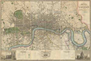
Map of London : from an actual survey made in the years 1824, 1825 & 1826
43.
Map of Massachusetts proper : compiled from actual surveys made by order of the general court, and under the inspection of...
44.
A map of Pensylvania, with part of the adjacent states, from the latest surveys
45.
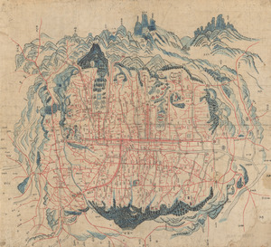
Map of Seoul
46.
Map of the city of New-York extending northward to Fiftieth Street
47.
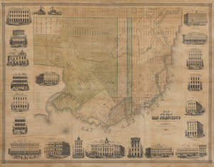
Map of the city of San Francisco
48.
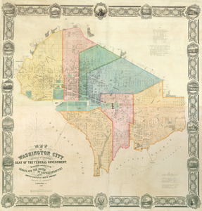
Map of Washington City
49.
Mappa V - Provinciae Maragnonii Societatis Jesu cum adjacentibus quibusdam terris Hispanorum, Gallorum & Batavorum
50.
Mukden-i dedun uden-i nirugan
51.
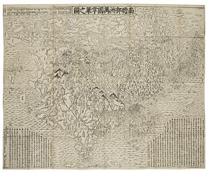
Nansenbushu bankoku shoka no zu
52.
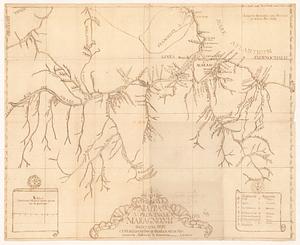
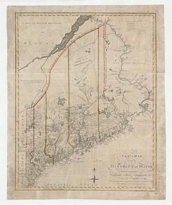
A new map of the district of Maine taken from the original map compiled by Osgood Carleton esqr. from the actual surveys that...
53.
A new map of the United States of America : drawn from the latest authorities
54.
A new map of the United States of America including part of Louisiana : part of Canada & of East Florida and the whole of West...
55.
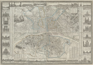
Nouveau plan routier de la ville et faubourgs de Paris avec ses principaux édifices et nouvelles barrières
56.
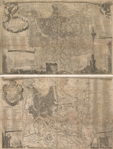
La piccola pianta di Roma
57.
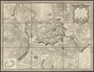
Plan de la ville de Genève : corrigé sur les lieux, en 1777, et 93 par Mr. Meyer ; dedié aux magnifiques et très honorés...
58.
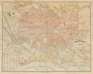
Plan general de la ville du Caire
59.
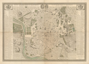
Plan geometrico y historico de la villa de Madrid y sus contornos = Plan geometrique et historique de la ville de Madrid et de...
60.
A plan of Boston, from actual survey
‹ Prev
Next ›
1
2
3
4