Toggle navigation
LMEC Home
Exhibitions
Georeferencing
Tools for Teachers
Collections
My Favorites
Sign Up / Log In
Search
Search the map portal
Map Collection
Map Collection
Map Sets
Search
Search
Search for
Search In
All Fields
Creator
Title
Subject
Place
Search All Digital Collections
Advanced Search
194 Results
My Search
Start Over
More Like
commonwealth:bk12fb804
Remove constraint More Like: commonwealth:bk12fb804
Filter your Search
Place
North and Central America
183
United States
170
Massachusetts
109
Maine
53
Middlesex (county)
17
Bristol (county)
9
Canada
8
Plymouth (county)
8
more
Place
»
Topic
Maine--Maps
53
Massachusetts--Maps
19
New Hampshire--Maps
7
Railroads--Maine--Maps
5
Vermont--Maps
5
Canada--Boundaries--United States--Maps
4
Counties--Maine--Maps
4
Dedham (Mass.)--Maps
4
more
Topic
»
Date
Date range begin
–
Date range end
Current results range from
1754
to
2010
View distribution
Creator
Applied Geographics, Inc.
61
MassGIS (Office : Mass.)
56
Massachusetts. Executive Office of Environmental Affairs
32
Geological Survey (U.S.)
10
Massachusetts Bays Program
8
Massachusetts Coastal Zone Management Office
8
Carleton, Osgood, 1742-1816
7
National Ocean Survey
6
more
Creator
»
Format
Maps/Atlases
193
Manuscripts
3
Ephemera
1
Objects/Artifacts
1
Georeferenced
Yes
3
No
191
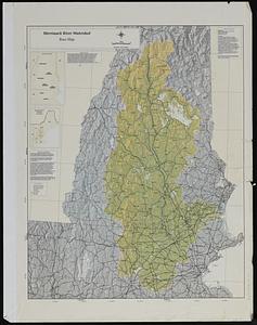
Collection
Norman B. Leventhal Map & Education Center Collection
176
Applied Geographics, Inc. Records
143
Boston and New England Maps
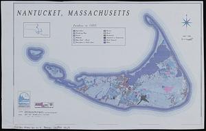
143
Urban Maps
28
Maritime Charts and Atlases
17
American Revolutionary War-Era Maps
16
American Antiquarian Society Collection
8
William L. Clements Library Collection
6
more
Collection
»
Available to use
No known restrictions
176
Creative Commons license
1
Search Constraints
Sort by relevance
relevance
title
date (asc)
date (desc)
Number of results to display per page
20 per page
10
per page
20
per page
50
per page
100
per page
View results as:
grid view
map view
Search Results
101.
Massachusetts coastal watersheds
102.
Massachusetts coastal zone management
103.
Massachusetts CZM shoreline change analysis project
104.
Massachusetts navigation and dredging management study
105.
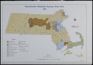
Massachusetts orthophoto basemap sheet index
106.
Massachusetts orthophoto basemap sheet index
107.
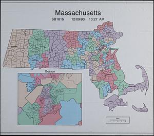
Massachusetts SB1815
108.
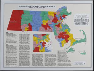
Massachusetts state Senate legislative districts : (Chapter 274 of the Acts of 1993)
109.
Massachusetts watersheds land use
110.
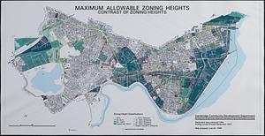
Maximum allowable zoning heights : contrast of zoning heights
111.
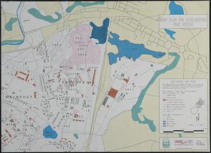
MDEP plan for acceleration Fort Devens
112.
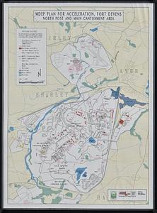
MDEP plan for acceleration, Fort Devens, north post and main cantonment area
113.
Merrimack River watershed atlas
114.
Merrimack River watershed [sheets]
115.
Mexico - US border infrastructure
116.
Middleborough, Massachusetts, zoning map
117.
Middlesex Fells Reservation : carriage road and trail survey project
118.
MWRA sewerage system
119.
Nantucket coastal high hazard area mapping project
120.
Nantucket, Massachusetts : landuse in 1985
‹ Prev
Next ›
1
2
3
4
5
6
7
8
9
10


![Merrimack River watershed [sheets]](https://bpldcassets.blob.core.windows.net/derivatives/images/commonwealth:kp78ng47v/image_thumbnail_300.jpg)