Toggle navigation
LMEC Home
Exhibitions
Georeferencing
Tools for Teachers
Collections
My Favorites
Sign Up / Log In
Search
Search the map portal
Map Collection
Map Collection
Map Sets
Search
Search
Search for
Search In
All Fields
Creator
Title
Subject
Place
Search All Digital Collections
Advanced Search
376 Results
My Search
Start Over
More Like
commonwealth:6108vv723
Remove constraint More Like: commonwealth:6108vv723
Filter your Search
Place
North and Central America
336
United States
210
Canada
103
Essex (county)
24
Louisbourg
21
Saint Lawrence River
19
Fort Edward
16
Suffolk (county)
16
more
Place
»
Topic
United States--History--French and Indian War, 1754-1763--Maps, Manuscript--Early works to 1800
58
Louisbourg (N.S.)--Maps, Manuscript--Early works to 1800
18
Fort Edward (N.Y.)--Maps, Manuscript--Early works to 1800
16
Fort Ticonderoga (N.Y.)--Maps, Manuscript--Early works to 1800
15
Saint Lawrence River--Maps, Manuscript--Early works to 1800
15
Louisbourg (N.S.)--History--Siege, 1745--Maps, Manuscript--Early works to 1800
14
Fortification--New York (State)--Fort Edward--Maps, Manuscript--Early works to 1800
13
Fortification--New York (State)--Maps, Manuscript--Early works to 1800
13
more
Topic
»
Date
Date range begin
–
Date range end
Current results range from
1664
to
1816
View distribution
Creator
Royal United Services Institute for Defence and Security Studies
160
George, III, King of Great Britain, 1738-1820
151
George, IV, King of Great Britain, 1762-1830
150
Amherst, Jeffery Amherst, Baron, 1717-1797
128
Skinner, Monier
28
Skinner, William, 1700-1780
28
Brasier, William
16
Bastide, John Henry, approximately 1700-1770
15
more
Creator
»
Format
Maps/Atlases
360
Manuscripts
149
Drawings/Illustrations
14
Georeferenced
Yes
7
No
369
Collection
British Library Collection
376
American Revolutionary War-Era Maps
352
Boston and New England Maps
21
Urban Maps
5
Maritime Charts and Atlases
2
Available to use
Creative Commons license
376
Search Constraints
Sort by title
relevance
title
date (asc)
date (desc)
Number of results to display per page
50 per page
10
per page
20
per page
50
per page
100
per page
View results as:
grid view
map view
Search Results
201.
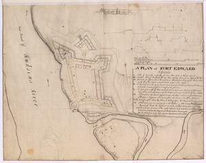
A PLAN of FORT EDWARD
202.
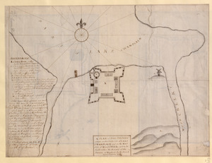
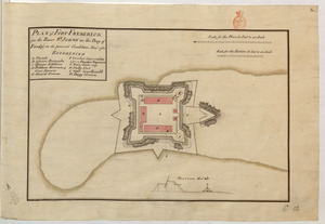
A PLAN of FORT FREDERIC situate on the South Side of LAKE CHAMPLAIN and on the West Side of Wood CREEK built within the bounds...
203.
PLAN of FORT FREDERICK at NEWFOUND-LAND as it is now with the new Additions
204.
PLAN of FORT FREDERICK (in the River S.T JOHNS in the Bay of Fundy) in its present condition Nov.r 1761
205.
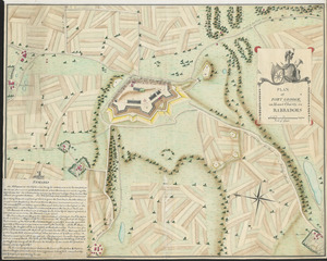
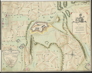
PLAN of FORT GEORGE, on Mount Charity, in BARBADOES
206.
PLAN of FORT GEORGE, on Mount Charity, in BARBADOES
207.
PLAN of FORT LIGONIER
208.
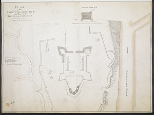
PLAN OF FORT LIGONIER with Part of the RETRANCHMENT
209.
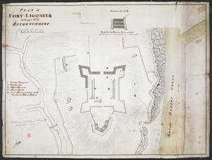
PLAN of FORT LIGONIER with part of the RETRENCHMENT
210.
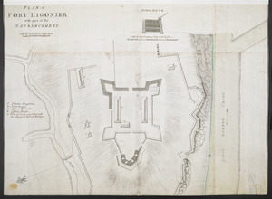
PLAN of FORT LIGONIER with part of the RETRENCHMENT
211.
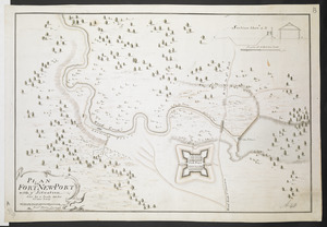
PLAN OF FORT NEW-PORT with ye Situation done by a Scale 100 feet to one Inch
212.
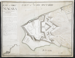
PLAN of FORT NIAGARA With its Buildings & outworks
213.
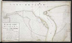
PLAN OF FORT NIAGARA WITH ITS ENVIRONS
214.
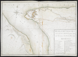
PLAN of FORT NIAGARA with its ENVIRONS, and the Attack made there-upon, in the Month of Iuly 1759
215.
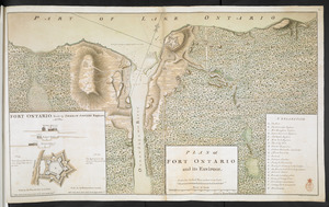
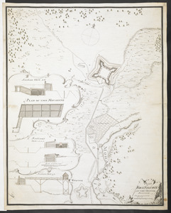
PLAN of FORT ONTARIO and its ENVIRONS
216.
A PLAN OF FORT ONTARIO Built at OSWEGO in 1759
217.
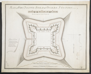
PLAN OF FORT STANWIX AT THE ONNIDE STATION Done by a Scale of 150 Feet to one Inch
218.
PLAN of FORT STANWIX BUILD at ONIEDA STATION 1758
219.
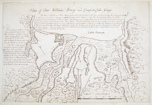
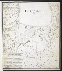
Plan of Fort William Henry and Camp at Lake George
220.
PLAN OF FORT Wm HENRY and the English Camps & Retranchment, with the French different Camps & Attack there upon
221.
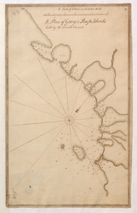
A Plan of George's Bay & Islands Call'd by the French I. du quinto
222.
A PLAN OF HALIFAX HARBOUR IN NOVA SCOTIA 1760
223.
PLAN OF LAKE ONTARIO Copied and inlarged from a French Original, the North Shore corrected in some places, likewise the South...
224.
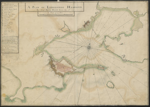
A PLAN OF LOUISBOUGH HARBOUR
225.
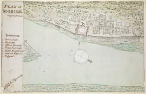
PLAN of MOBILE
226.
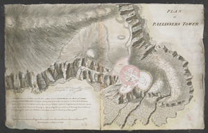
PLAN of PALLISSERS TOWER
227.
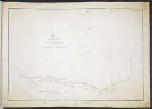
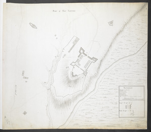
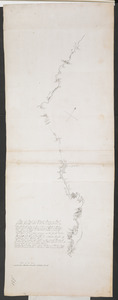
Plan of Part of Black River & Part of Otter Creek with the Distances by Computation
228.
PLAN of part of FORT GEORGE with the BARRACKS &c Erected in the Year 1759
229.
A Plan of Part of the East Coast of the Island of Cape Breton
230.
A Plan of Pitts Fort at Pittsburgh. Oct.r 1759
231.
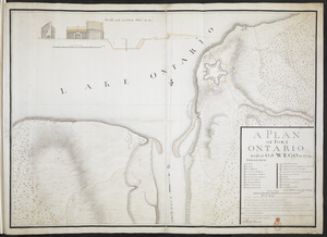
[Plan of proposed Fort Ontario at Oswego]
232.
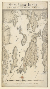
PLAN of RHODE ISLAND, the HARBOUR, the Adjacent ISLANDS, and COAST
233.
PLAN OF SANDY HOOK 28. Miles from New York
234.
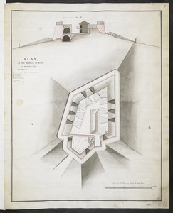
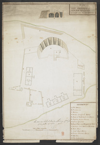
PLAN of the Bastion at Fort George
235.
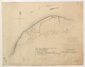
Plan of the Battery on the South Shore Erected against Fort Levy on the 21. of August 1760
236.
Plan of the Battle fought on the Plains of Abraham, September the 13th 1759
237.
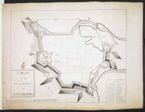
A PLAN OF THE CITY and FORTRESS OF LOUISBOURG
238.
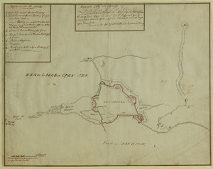
Plan of the City and Fortress of LOUISBOURG Surrendered to his Britanick Majesty by Capitulation the 17 June 1745. to Lieut....
239.
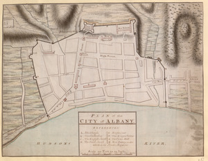
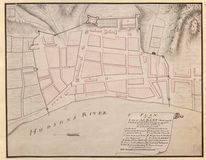
PLAN of the CITY of ALBANY
240.
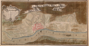
PLAN, of the CITY, of ALBANY, in the PROVINCE, of, NEW, YORK
241.
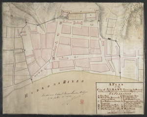
PLAN of the City of ALBANY Shewing the Several works & Buildings made there in the Years 1756 & 57
242.
A PLAN of the City of ALBANY Shewing the Several works and Buildings made there in the Year 1756 & 57
243.
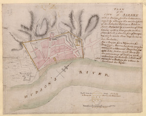
PLAN of the CITY of ALBANY with a Design for the better securing it, by altering the ancient form of its Stockade; Adding a...
244.
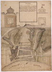
PLAN of the CITY of ALBANY with the Designs for Securing it by the Addition of a Ditch, and Rampart; with Detached Redouts or...
245.
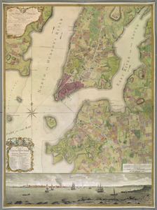
PLAN of the CITY of NEW YORK, in North America : Surveyed in the Years 1766 & 1767
246.
Plan of the communication from Fort Cumberland to Presqu'Isle
247.
PLAN of the COMMUNICATION from TOWNSHIP No 8 to CATARAQUI as Surveyed by M.r Louis Kott Dep.t Prov.l Surv
248.
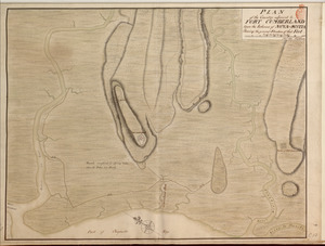
PLAN of the Country adjacent to FORT CUMBERLAND Upon the Isthmus of NOVA-SCOTIA Showing the general Situation of that Fort
249.
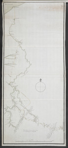
PLAN of the COUNTRY from FORT EDWARD to CROWN POINT
250.
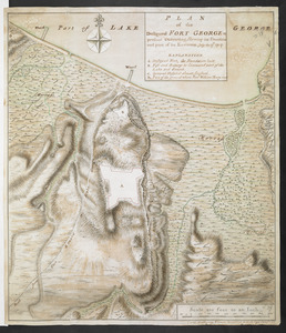
PLAN of the Designed FORT GEORGE at present executing, Shewing its situation and part of its Environs. July the 17.th 1759
‹ Prev
Next ›
1
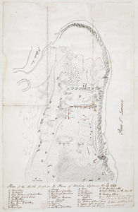
2
3
4
5
6
7
8

![[Plan of proposed Fort Ontario at Oswego]](https://bpldcassets.blob.core.windows.net/derivatives/images/commonwealth:hx11z1204/image_thumbnail_300.jpg)