Toggle navigation
LMEC Home
Exhibitions
Georeferencing
Tools for Teachers
Collections
My Favorites
Sign Up / Log In
Search
Search the map portal
Map Collection
Map Collection
Map Sets
Search
Search
Search for
Search In
All Fields
Creator
Title
Subject
Place
Search All Digital Collections
Advanced Search
8166 Results
My Search
Start Over
More Like
commonwealth:4m90fb90s
Remove constraint More Like: commonwealth:4m90fb90s
Filter your Search
Place
North and Central America
4,915
United States
3,747
Suffolk (county)
1,026
Boston
999
Europe
963
Canada
426
Massachusetts
294
France
269
more
Place
»
Topic
Boston (Mass.)--Maps
574
United States--Maps
270
Real property--Massachusetts--Boston--Maps
174
Massachusetts--Maps
160
Landowners--Massachusetts--Boston--Maps
132
North America--Maps--Early works to 1800
103
New England--Maps
99
Europe--Maps
78
more
Topic
»
Date
Date range begin
–
Date range end
Current results range from
1482
to
2023
View distribution
Creator
United States. Hydrographic Office
357
O.H. Bailey & Co
148
Des Barres, Joseph F. W. (Joseph Frederick Wallet), 1722-1824
123
United States. Post Office Dept
120
Ptolemy, 2nd cent
100
Walling, Henry Francis, 1825-1888
94
Jefferys, Thomas, -1771
84
Geological Survey (U.S.)
82
more
Creator
»
Format
Maps/Atlases
8,107
Manuscripts
215
Prints
51
Books
36
Objects/Artifacts
10
Drawings/Illustrations
8
Posters
4
Georeferenced
Yes
869
No
7,297
Collection
Norman B. Leventhal Map Center Collection
8,162
Boston and New England Maps
2,184
Urban Maps
1,925
Maritime Charts and Atlases
750
American Revolutionary War-Era Maps
620
Boston Redevelopment Authority Collection
86
William L. Clements Library Collection
4
Available to use
No known restrictions
8,021
Creative Commons license
46
Search Constraints
Sort by relevance
relevance
title
date (asc)
date (desc)
Number of results to display per page
50 per page
10
per page
20
per page
50
per page
100
per page
View results as:
grid view
map view
Search Results
1.
The Canadian west
2.
Map of British Columbia and part of western Canada, showing the lines and lands of the Canadian Pacific Railway
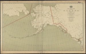
3.
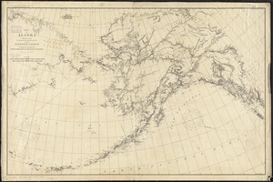
Alaska and adjoining territory
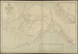
4.
Alaska and adjoining territory
5.
The Alaska Railroad
6.
Bacon's new large-print map of Alaska & the Klondike : compiled from the most recent government surveys and showing routes to...
7.
Colton's map of the territory of Alaska : (Russian America) ceded by Russia to the United States
8.
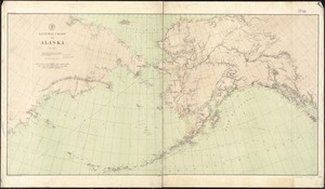
General chart of Alaska
9.
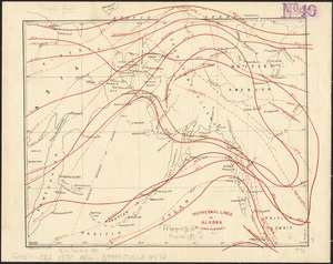
Isothermal lines of Alaska
10.
Map of Alaska
11.
Map of Alaska : showing latest explorations by U.S. Geological Survey and U.S. Coast and Geodetic Survey
12.
Map of Alaska
13.
Map of Alaska
14.
Map of North America : showing all routes to Alaska and Klondike country
15.
Map of White Pass & Yukon Route and connections
16.
Map railway route, Seward to Fairbanks : (including Matanuska - branch)
17.
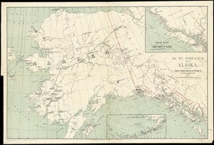
M.W. Bruce's map of Alaska
18.
North western America showing the territory ceded by Russia to the United States
19.
North western America showing the territory ceded by Russia to the United States
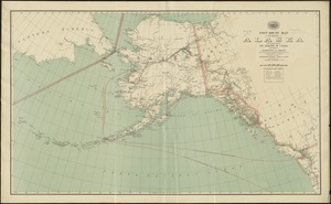
20.
Post route map of the territory of Alaska showing post offices and the intermediate distances on mail routes in operation on...
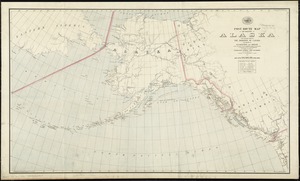
21.
Post route map of the territory of Alaska with adjacent parts of the Dominion of Canada and portions of Washington and Oregon...
22.
Post route map of the territory of Alaska with adjacent parts of the Dominion of Canada and portions of Washington and Oregon...
23.
Post route map of the territory of Alaska with adjacent parts of the Dominion of Canada and portions of Washington and Oregon...
24.
Rand McNally standard map of Alaska
25.
Route map, Juneau to Porcupine River, Alaska
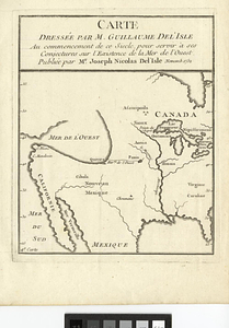
26.
Carte dressée par M. Guillaume De L'Isle au commencement de ce siecle, pour servir à ses conjectures sur l'existence de la Mer...
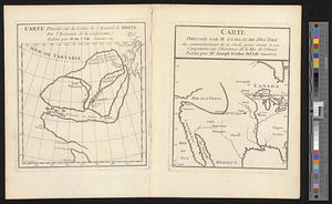
27.
Carte dressée sur la lettre de l'Admiral de Fonte par l'ecrivain de la Californie
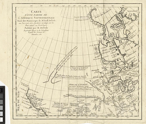
28.
Carte d'une partie de l'Amérique Septentrionale tirée des manuscripts de M. Guill. De l'Isle ou l'on voit son systeme en 1695...
29.
Lands west of the Mississippi, 1750
30.
The 100th anniversary map of Abraham Lincoln's visit to Massachusetts, September 11-23, 1848
31.
1630 shoreline
32.
1879. Progress map of the U.S. Geographical Surveys west of the 100th Meridian : prepared under the direction of 1st Lieut....
33.
1903 Map of Salem and surrounding places
34.
19th annual convention of the National Association of Real Estate Boards : at Tulsa, June 7 to June 11 in 1926
35.
2005 significant U.S. hurricane strikes
36.
The 2100 project : an atlas for the Green New Deal
37.
227 Harzgerode
38.
305 Glatz
39.
38,000,000 escaped -- 10,000,000 died
40.
4 Kinten
41.
660 Wakulah St., Roxbury
42.
[A chart of Boston Bay and vicinity]
43.
[A chart of New York Island & North River : East River, passage through Hell Gate, Flushing Bay, Hampstead Bay, Oyster,...
44.
The A.A.A. key road map of continental Europe
45.
Aaron Bohrod's America, its history
46.
ABC pathfinder railway guide map : eastern division
47.
Abolition of Slavery, 1863
48.
Aboriginal map of North America, denoting the boundaries and the locations of various Indian tribes
49.
Acapulco, México
50.
Accurata delineatio Castrorum Suecicorum, ut et Haffniae, Regni Daniae Metropolis
‹ Prev
Next ›
1
2
3
4
5
…
163
164


![[A chart of Boston Bay and vicinity]](https://bpldcassets.blob.core.windows.net/derivatives/images/commonwealth:cj82m2976/image_thumbnail_300.jpg)


