Rand McNally standard map of Alaska
Item Information
- Title:
- Rand McNally standard map of Alaska
- Title (alt.):
-
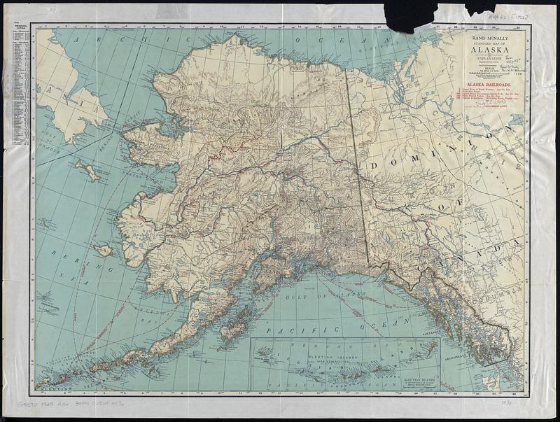
Standard map of Alaska
- Cartographer:
- Rand McNally and Company
- Date:
-
[1925?]
- Format:
-
Maps/Atlases
- Location:
-
Boston Public Library
Norman B. Leventhal Map & Education Center - Collection (local):
-
Norman B. Leventhal Map & Education Center Collection
- Subjects:
-
Alaska--Maps
Railroads--Alaska--Maps
- Places:
-
Alaska
- Extent:
- 1 map : color ; 47 x 63 cm
- Terms of Use:
-
No known copyright restrictions.
No known restrictions on use.
- Publisher:
-
[Chicago] :
The Company
- Scale:
-
Scale 1:4,055,040. 64 miles = 1 inch
- Language:
-
English
- Notes:
-
Relief shown by hachures and spot heights.
Red overprint shows railroads and steamship routes.
Inset: Aleutian Islands (a continuation of Alaska).
Includes index of principal cities with population figures.
"943G."
Indexes on verso.
- Identifier:
-
06_01_018302
- Call #:
-
G4370 1925 .R36
- Barcode:
-
39999065684076


