General chart of Alaska
Item Information
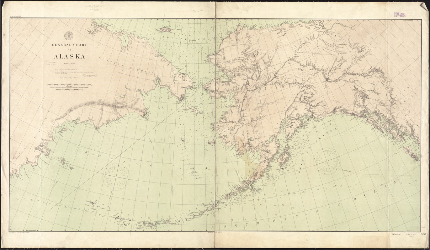
- Title:
- General chart of Alaska
- Title in lower right margin :
- Alaska
- Creator:
- U.S. Coast and Geodetic Survey
- Name on Item:
-
compiled and drawn by A. & H. Lindenkohl.
- Date:
-
1890
- Format:
-
Maps/Atlases
- Location:
-
Boston Public Library
Norman B. Leventhal Map & Education Center - Collection (local):
-
Norman B. Leventhal Map & Education Center Collection
- Subjects:
-
Alaska--Maps
- Places:
-
Alaska
- Extent:
- 1 map : col. ; 66 x 127 cm.
- Terms of Use:
-
No known copyright restrictions.
No known restrictions on use.
- Publisher:
-
Washington, D.C :
U.S. Coast and Geodetic Survey
- Scale:
-
Scale [1:3,6000,000]
- Language:
-
English
- Notes:
-
Relief shown by hachures and spot heights. Depths shown by isolines and soundings.
"No. 900."
- Identifier:
-
06_01_011374
- Call #:
-
G4370 1890 .U83
- Barcode:
-
39999065684506


