Search Constraints
Search Results

![A comprehensive atlas geographical, historical & commercial [title page]](https://bpldcassets.blob.core.windows.net/derivatives/images/commonwealth:3f463182f/image_thumbnail_300.jpg)


11. Massachusetts


13. Northern Africa


18. Pianta di Roma
19. Pianta di Roma


31. South America


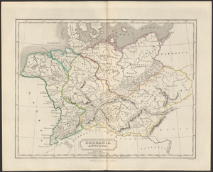
38. Germania antiqua


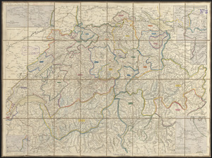
47. Schweiz


57. Afrique

58. America settle

59. Dongguk yojido

60. Haejwa do
![[Isthmus of Tehuantepec, Mexico]](https://bpldcassets.blob.core.windows.net/derivatives/images/commonwealth:4m90fj46g/image_thumbnail_300.jpg)
62. Joseon yojido
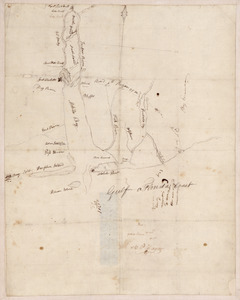
![[Manuscript map of coast from Maine to Delaware]](https://bpldcassets.blob.core.windows.net/derivatives/images/commonwealth:x633f976h/image_thumbnail_300.jpg)


![[Map of W. Dall's lots in Athens County, Washington County, and Gallia County, Ohio]](https://bpldcassets.blob.core.windows.net/derivatives/images/commonwealth:w9505s00n/image_thumbnail_300.jpg)

71. Massachusetts

![[Plan de defense de New-Port]](https://bpldcassets.blob.core.windows.net/derivatives/images/commonwealth:z603vn044/image_thumbnail_300.jpg)

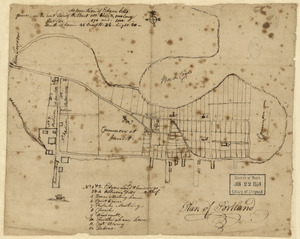
75. Plan of Portland
![[Sketch of the region of the island of Cape Breton, between the parallels of forty-five and forty-eight degrees of latitude]](https://bpldcassets.blob.core.windows.net/derivatives/images/commonwealth:4m90fh38k/image_thumbnail_300.jpg)


79. Yeojido


