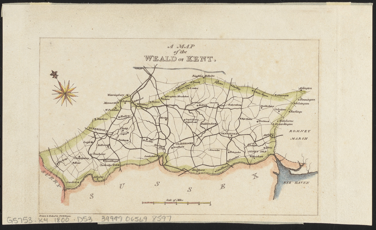
A map of the Weald of Kent
Item Information
- Title:
- A map of the Weald of Kent
- Cartographer:
- Diarn, T. D. W.
- Name on Item:
-
drawn & etched by T.D.W. Diarn
- Date:
-
[ca. 1800–1899]
- Format:
-
Maps/Atlases
- Location:
-
Boston Public Library
Norman B. Leventhal Map & Education Center - Collection (local):
-
Norman B. Leventhal Map & Education Center Collection
- Subjects:
-
Kent (England)--Maps
Weald, The (England)--Maps
- Places:
-
EnglandKent (county)
EnglandKent (county)Weald
- Extent:
- 1 map : hand-colored ; 10 x 15 cm
- Terms of Use:
-
No known copyright restrictions.
No known restrictions on use.
- Publisher:
-
[Place of publication not identified] :
[publisher not identified]
- Scale:
-
Scale approximately 1:530,000
- Language:
-
English
- Notes:
-
Oriented with north to the upper left.
- Identifier:
-
06_01_013970
- Call #:
-
G5753.K4 1800 .D53
- Barcode:
-
39999065698597


