Manuscript maps of U.S. states, possibly drawn by a schoolchild

Item Information
- Title:
- Manuscript maps of U.S. states, possibly drawn by a schoolchild
- Description:
-
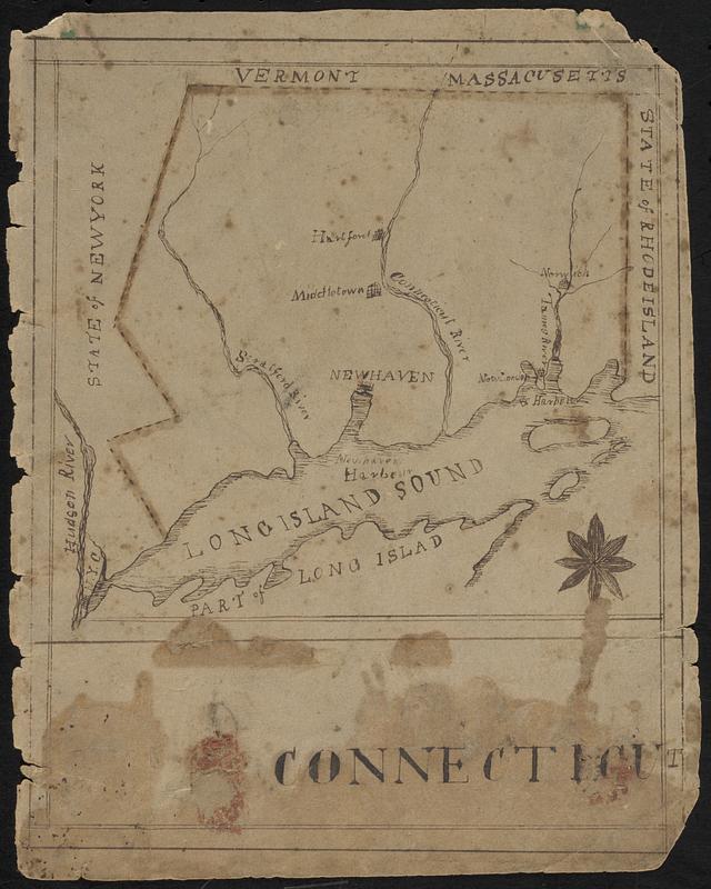
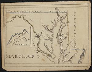
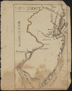
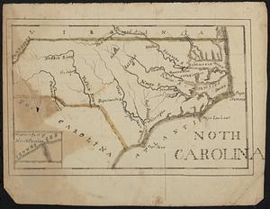
Four manuscript maps in ink with some outline color of U.S. states, showing state boundaries, rivers, and some towns. Possibly drawn by a schoolgirl or schoolboy, with guide lines and many alternate or misspellings.
- Date:
-
[ca. 1800–1850]
- Format:
-
Maps/Atlases
- Genre:
-
Manuscript maps
- Location:
-
Boston Public Library
Norman B. Leventhal Map & Education Center - Collection (local):
-
Norman B. Leventhal Map & Education Center Collection
- Subjects:
-
Connecticut--Maps
Maryland--Maps
New Jersey--Maps
North Carolina--Maps
- Places:
-
United States
- Extent:
- 4 manuscript maps : hand color ; sheets 20 x 16 cm
- Terms of Use:
-
No known copyright restrictions.
No known restrictions on use.
- Language:
-
English
- Table of Contents:
-
Connecticut
Marylad [that is, Maryland]
New Jersey
Noth Carolina [that is, North Carolina].
- Notes:
-
Date of creation estimated from major towns.
- Identifier:
-
06_01_018621
- Call #:
-
G3700 1800 .M36
- Barcode:
-
39999085969606


