Insularum Japonicarum : tabulae geographicae secundum opus = Nippon jo tsi ro tei sen tsu

Item Information
- Title:
- Insularum Japonicarum : tabulae geographicae secundum opus = Nippon jo tsi ro tei sen tsu
- Title (alt.):
-
Nippon jo tsi ro tei sen tsu
Nippon I
- Engraver:
- Guo, Chengzhang
- Name on Item:
-
juxta tab. jap. Ko-Tsching-Dschang script.
- Date:
-
[ca. 1830–1839]
- Format:
-
Maps/Atlases
- Location:
-
Boston Public Library
Norman B. Leventhal Map & Education Center - Collection (local):
-
Norman B. Leventhal Map & Education Center Collection
- Subjects:
-
Japan--Maps
- Places:
-
Japan
- Extent:
- 4 maps ; 55 x 40 cm or smaller, on sheets 74 x 58 cm
- Terms of Use:
-
No known copyright restrictions.
No known restrictions on use.
- Publisher:
-
[Leiden?] :
[publisher not identified]
- Scale:
-
Scale approximately 1:1,225,000
- Language:
-
Latin
Japanese
- Table of Contents:
-
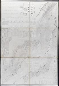
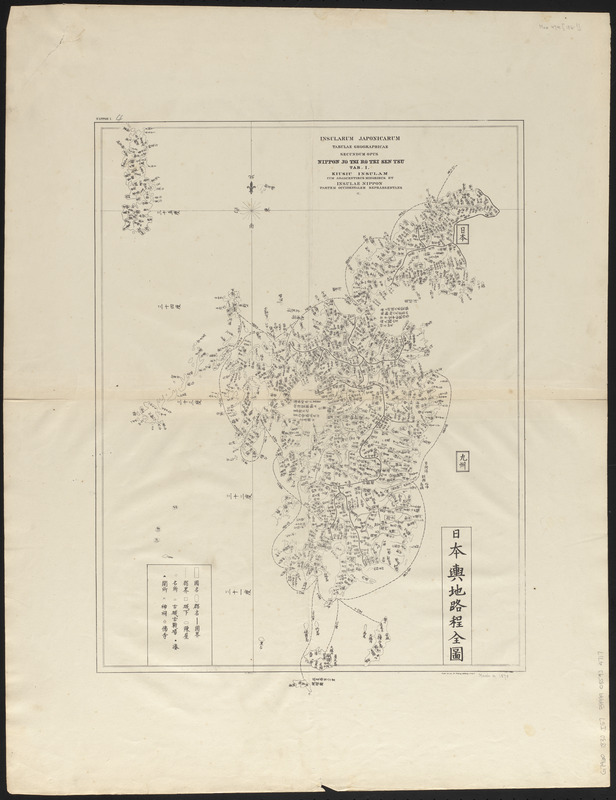
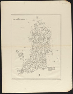
Tab. I. Kiusiu insularum cum adjacentibus minoribus et insulae Nippon partem occidentalem repraesentans
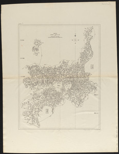
Tab. II. Sikok insularum et insulae Nippon partem mediam repraesentans
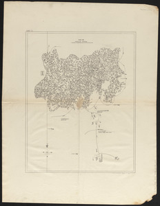
Tab. III. Insulae Nippon partem orientalem repraesentans
Tab. IV. Insuale Nippon partem septentrionalem repraesentans.
- Notes:
-
Issued to accompany the series Bibliotheca Japonica, published in Leiden, 1833-1838.
Shows Japan divided into four sections.
Sheet 1 includes inset of Japan.
Place names in Japanese. Sheet titles in Latin.
- Identifier:
-
06_01_015257
06_01_015258
06_01_015259
06_01_015260
- Call #:
-
G7960 1830 .I57
- Barcode:
-
39999085934717