Search Constraints
Search Results

![Part of Wakefield [Massachusetts] Greenwood ; Town of Wakefield](https://bpldcassets.blob.core.windows.net/derivatives/images/commonwealth:c534g394w/image_thumbnail_300.jpg)
2756. Tabula I Aphri
2757. Tabula III Asiae
2758. Tabula III Europae
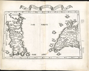
2759. Tabula IIII Aphricae
2760. Tabula IX Asiae
2761. Tabula IX Europae
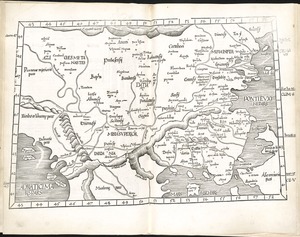
2762. Tabula V Europae
2763. Tabula VII Asiae
2764. Tabula VII Europae

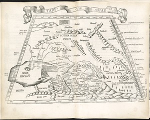
2765. Tabula VIII Asiae

2766. Tabula VIII Europae

2767. Undecima Asiae tabula
![Wakefield [Massachusetts] ; Greenwood ; Melrose](https://bpldcassets.blob.core.windows.net/derivatives/images/commonwealth:c534g400t/image_thumbnail_300.jpg)
2771. Tabula II Asiae
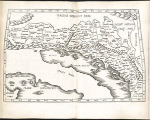
2772. Tabula IIII Europae
![[The World]](https://bpldcassets.blob.core.windows.net/derivatives/images/commonwealth:9g54xj67p/image_thumbnail_300.jpg)
2773. [The World]

2774. The world


2777. Tabula XI Asiae


![[Palestina]](https://bpldcassets.blob.core.windows.net/derivatives/images/commonwealth:7h14b116r/image_thumbnail_300.jpg)
2783. [Palestina]


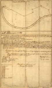
2788. Gaspee Bay


2793. Region of Gaspee Bay


![Plan of the part of Canada and the River St; Lawrence which lies between the Coteau des Cedres the uppermost settlements of Canada, and the Island of St; Therese, containing the Island of Montreal; Isle Jesus; Isle Bisare; Isle Perault &c. the lakes of St; Louis les Deux Montagnes &c, formed by the River St; Lawrence. the city of Montreal, all the villages, fortified posts; habitations and cultivated country throughout the whole extent. The whole from a survey carried on under the direction of the Honourble; [sic] Brigr; General Murray, govenour [sic] of Quebec](https://bpldcassets.blob.core.windows.net/derivatives/metadata/commonwealth-oai:vq283p14m/image_thumbnail_300.jpg)