Toggle navigation
LMEC Home
Exhibitions
Georeferencing
Tools for Teachers
Collections
My Favorites
Sign Up / Log In
Search
Search the map portal
Map Collection
Map Collection
Map Sets
Search
Search
Search for
Search In
All Fields
Creator
Title
Subject
Place
Search All Digital Collections
Advanced Search
585 Results
My Search
Start Over
East Boston
Remove constraint East Boston
Filter your Search
Place
North and Central America
409
United States
334
Massachusetts
151
Suffolk (county)
129
Boston
125
Asia
63
Europe
47
Canada
42
more
Place
»
Topic
Boston (Mass.)--Maps
71
East Boston (Boston, Mass.)--Maps
36
United States--Maps
16
Real property--Massachusetts--Boston--Maps
15
Middle East--Maps
14
City planning--Massachusetts--Boston--Maps
12
Coasts--Newfoundland and Labrador--Maps
11
Urban renewal--Massachusetts--Boston--Maps
11
more
Topic
»
Date
Date range begin
–
Date range end
Current results range from
1482
to
2023
View distribution
Creator
United States. Hydrographic Office
55
Boston Redevelopment Authority
14
Des Barres, Joseph F. W. (Joseph Frederick Wallet), 1722-1824
12
Ptolemy, 2nd cent
11
Boston (Mass.). Engineering Dept
10
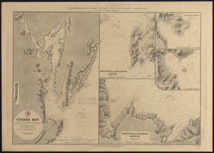
Boynton, George W., d. 1884
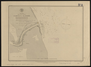
10
Moll, Herman, d. 1732
10
O.H. Bailey & Co
10
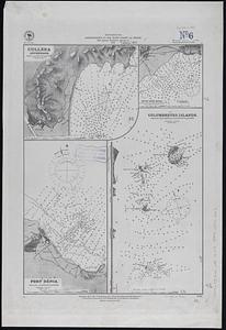
more
Creator
»
Format
Maps/Atlases
579
Manuscripts
13
Drawings/Illustrations
3
Prints
3
Books
1
Georeferenced
Yes
74
No
511
Collection
Norman B. Leventhal Map & Education Center Collection
540
Boston and New England Maps
172
Urban Maps
163
Maritime Charts and Atlases
103
American Revolutionary War-Era Maps
65
Mapping Boston Collection
20
Boston Redevelopment Authority Collection
18
American Textile History Museum Image Collection
6
more
Collection
»
Available to use
No known restrictions
543
Creative Commons license
29
Search Constraints
Sort by relevance
relevance
title
date (asc)
date (desc)
Number of results to display per page
20 per page
10
per page
20
per page
50
per page
100
per page
View results as:
grid view
map view
Search Results
81.
United States--east coast, Maryland, Annapolis Harbor
82.
Map of southern portion East & West Kootenay Districts
83.
United States--east coast, Massachusetts, Cape Cod Bay
84.
Cities of East Saginaw and Saginaw, Michigan, 1885
85.
Africa--east coast, coast of Zanzibar, Kiswere Harbor : from a British survey by the officers of H.M.S. Nassau, 1874 :...
86.
Anchorages on the east coast of the Korea
87.
The Ancient Tegesta, now promontory of East Florida
88.
Asia, east coast, China Sea in four sheets : compiled from the latest surveys 1885
89.
Mediterranean, anchorages on the east coast of Spain : from Spanish government surveys of 1878
90.
Newfoundland - east coast - Canada Bay with adjacent anchorages : from a French government survey ; 1862-3
91.
North America, east coast of Mexico, Tampico Harbor : from a survey in 1883 by the officers of the U.S.S. Alliance, Commander...
92.
The south east coast of Cape Breton Island
93.
Sanford, Maine : looking east
94.
Maps of the Far East, illustrating Russo-Japanese War
95.
Elihu Geer Sons new map of East Hartford, Connecticut
96.
[North east coast of Nova Scotia and Northumberland Strait]
97.
[North east coast of Nova Scotia and Northumberland Strait]
98.
Africa--east coast, harbors on the coast of Zanzibar : from a British survey by the officers of H.M.S. Nassau, 1874 :...
99.
East India Archipelago, Singapore Strait, New Harbor of Singapore : republication of the Brit. Admty. chart no. 2023 :...
100.
East-coast of Newfoundland, harbors & anchorages of Fogo Island : republication of Brit. Admty. chart no. 291
‹ Prev
Next ›
1
2
3
4
5
6
7
8
9
…
29
30


![[North east coast of Nova Scotia and Northumberland Strait]](https://bpldcassets.blob.core.windows.net/derivatives/images/commonwealth:ws859h21d/image_thumbnail_300.jpg)
![[North east coast of Nova Scotia and Northumberland Strait]](https://bpldcassets.blob.core.windows.net/derivatives/images/commonwealth:ws859h23z/image_thumbnail_300.jpg)


