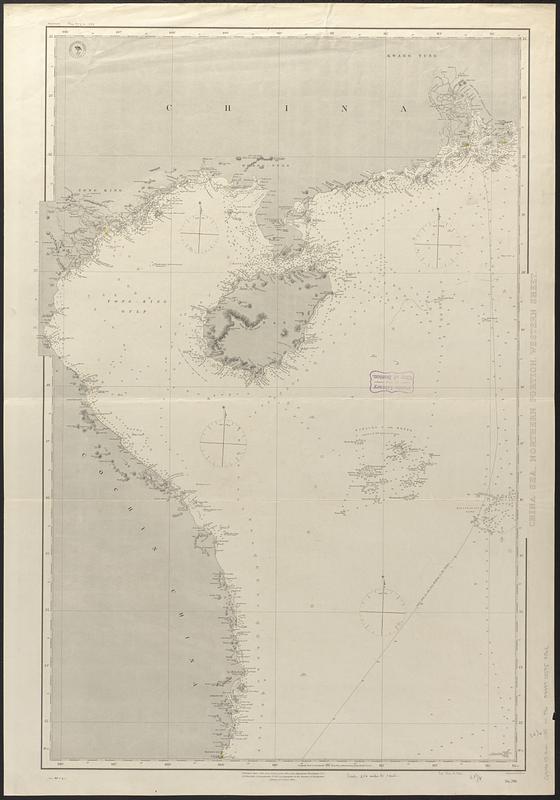
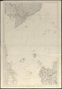
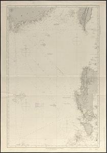
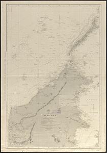
Asia, east coast, China Sea in four sheets : compiled from the latest surveys 1885

Item Information
- Title:
- Asia, east coast, China Sea in four sheets : compiled from the latest surveys 1885
- Issuing body:
- United States. Hydrographic Office
- Engraver:
- Evans, H. C. (Henry C.)
- Name on Item:
-
engraved by H.C. Evans
- Date:
-
[1888–1889]
- Format:
-
Maps/Atlases
- Genre:
-
Nautical charts
- Location:
-
Boston Public Library
Norman B. Leventhal Map & Education Center - Collection (local):
-
Norman B. Leventhal Map & Education Center Collection
- Subjects:
-
South China Sea--Maps
Nautical charts--South China Sea
- Places:
-
South China Sea
- Extent:
- 1 map on 4 sheets ; 179 x 130 cm, on sheets 102 x 71 cm
- Terms of Use:
-
No known copyright restrictions.
No known restrictions on use.
- Publisher:
-
Washington, D.C. :
Hydrographic Office
- Edition:
- Northern portion, western sheet: Edition of October 1888||Southern portion, western sheet -- Northern portion, eastern sheet: Edition of September 1888||Southern portion, eastern sheet: Edition of December 1888
- Scale:
-
Scale approximately 1:1,600,000
- Language:
-
English
- Table of Contents:
-
China Sea, northern portion, western sheet
China Sea, southern portion, western sheet
China Sea, northern portion, eastern sheet
China Sea, southern portion, eastern sheet
- Notes:
-
Relief shown by hachures. Depths shown by soundings.
"Cor. 1888.44.50.)(89-6.11."--Southern portion, western sheet.
"Cor. (1888.44."--Northern portion, eastern sheet.
"Cor. '89-5.6.11."--Northern portion, western sheet.
- Notes (date):
-
This date is inferred.
- Identifier:
-
06_01_017588A
06_01_017588B
06_01_017588C
06_01_017588D
- Call #:
-
G9096.P5 svar .U55 nos. 769-799
- Barcode:
-
39999085959862