Search Constraints
Search Results


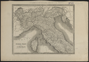
7903. North Italy
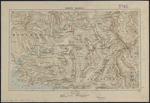
7904. North Korea
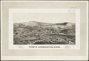
7905. North Leominster, Mass
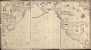
7906. North Pacific
7907. North Pacific islands

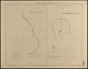
7908. North Pacific Islands
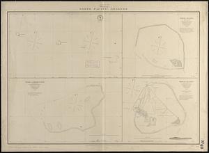
7909. North Pacific islands
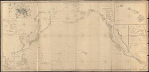
7910. North Pacific Ocean