Toggle navigation
LMEC Home
Exhibitions
Georeferencing
Tools for Teachers
Collections
My Favorites
Sign Up / Log In
Search
Search the map portal
Map Collection
Map Collection
Map Sets
Search
Search
Search for
Search In
All Fields
Creator
Title
Subject
Place
Search All Digital Collections
Advanced Search
14164 Results
Filter your Search
Place
North and Central America
10,811
United States
8,818
Massachusetts
2,820
Suffolk (county)
1,688
Boston
1,644
Europe
1,428
Canada
1,010
New York
683
more
Place
»
Topic
Boston (Mass.)--Maps
753
City planning--Massachusetts--Boston--Maps
419
United States--History--Revolution, 1775-1783--Maps
331
United States--Maps
331
Real property--Massachusetts--Boston--Maps
254
Urban renewal--Massachusetts--Boston--Maps
254
North America--Maps--Early works to 1800
241
Massachusetts--Maps
236
more
Topic
»
Date
Date range begin
–
Date range end
Current results range from
1482
to
2023
View distribution
Creator
United States. Hydrographic Office
597
Boston Redevelopment Authority
404
Des Barres, Joseph F. W. (Joseph Frederick Wallet), 1722-1824
247
Jefferys, Thomas, -1771
172
United States. National Ocean Service
170
Royal United Services Institute for Defence and Security Studies
160
George, III, King of Great Britain, 1738-1820
152
George, IV, King of Great Britain, 1762-1830
151
more
Creator
»
Format
Maps/Atlases
13,978
Manuscripts
985
Prints
102
Books
53
Drawings/Illustrations
44
Photographs
15
Objects/Artifacts
13
Documents
7
more
Format
»
Georeferenced
Yes
979
No
13,185
Collection
Norman B. Leventhal Map & Education Center Collection
9,162
American Revolutionary War-Era Maps
3,629
Boston and New England Maps
2,936
Urban Maps
2,511
Maritime Charts and Atlases
1,169
William L. Clements Library Collection
910
Library of Congress Collection
618
Boston Redevelopment Authority Collection
475
more
Collection
»
Available to use
No known restrictions
10,408
Creative Commons license
1,678
Search Constraints
Sort by relevance
relevance
title
date (asc)
date (desc)
Number of results to display per page
20 per page
10
per page
20
per page
50
per page
100
per page
View results as:
grid view
map view
Search Results
7921.
North America, River St. Lawrence above Quebec
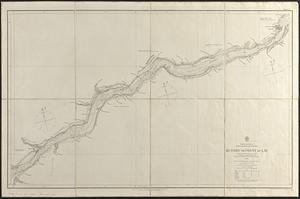
7922.
North America, River St. Lawrence above Quebec
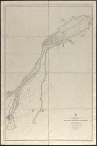
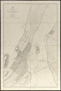
7923.
North America, River St. Lawrence, Montreal Harbour
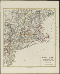
7924.
North America, sheet VI, New-York, Vermont, Maine, New-Hampshire, Massachusetts, Connecticut, Rhode-Island, and New-Jersey
7925.
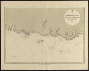
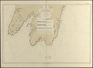
North America, south coast of Newfoundland : Devil Bay to Knife Bay : from a British survey in 1872 & 1873 ; republication of...
7926.
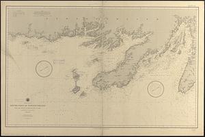
North America, south coast of Newfoundland from the Burgeo Islands to Cape St. Mary : compiled from the latest information
7927.
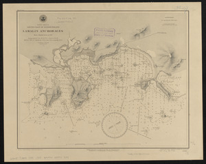
North America, south coast of Newfoundland, Lamalin anchorages : from a British survey in 1884
7928.
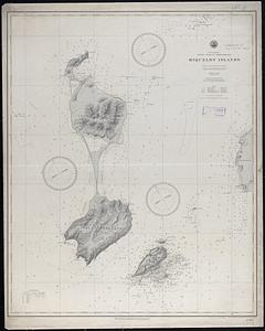
North America, south coast of Newfoundland, Miquelon Islands : from a French survey in 1841
7929.
North America, south east coast of Newfoundland, Bay Bulls to Placentia
7930.
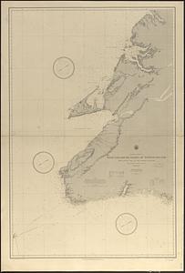
North America, west and south coasts of Newfoundland, from Bonne Bay to the Burgeo Islands : compiled from the latest information
7931.
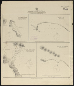
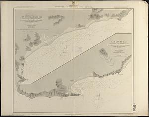
North America, west coast, anchorages in the Gulf of California : from a reconnaissance by the officers of the U.S.S....
7932.
North America, west coast, anchorages in the Gulf of California : from a survey by Commander Geo. Dewey, U.S.N. and the...
7933.
North America, west coast, anchorages on the south coast of Lower California
7934.
North America, west coast, anchorages on the west coast of Mexico : from a survey by Commander J.W. Philip, U.S.N. and the...
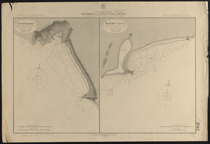
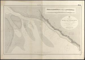
7935.
North America, west coast, Canada, British Columbia, waters between Vancouver Island and the mainland, Goletas Channel to...
7936.
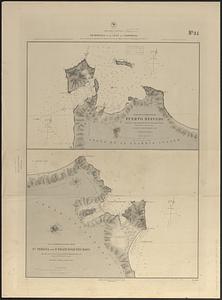
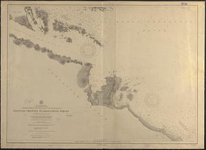
North America, west coast, channels and harbors in the Gulf of California
7937.
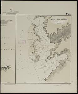
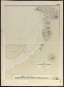
North America, west coast, Gulf of California, La Paz Harbor and entrance
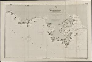
7938.
North America, west coast, Gulf of California, Mexico, Guaymas Harbor and approaches : from the most recent surveys, verified...
7939.
North America, west coast, Gulf of California, mouth of the Colorado River
7940.
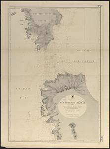
North America, west coast, Gulf of California, San Lorenzo Channel and approaches to La Paz Harbor : from a survey by Comdr....
‹ Prev
Next ›
1
2
…
393
394
395
396
397
398
399
400
401
…
708
709