North America, west coast, channels and harbors in the Gulf of California
Item Information
- Title:
- North America, west coast, channels and harbors in the Gulf of California
- Title (alt.):
-
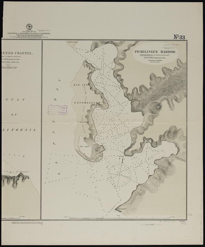
Pichilingue Harbor
- Issuing body:
- United States. Hydrographic Office
- Name on Item:
-
from a survey by Comdr. Geo. Dewey, U.S.N. and the officers of the U.S.S. Narragansett, 1873 & 1874
- Date:
-
1875
- Format:
-
Maps/Atlases
- Genre:
-
Nautical charts
- Location:
-
Boston Public Library
Norman B. Leventhal Map & Education Center - Collection (local):
-
Norman B. Leventhal Map & Education Center Collection
- Subjects:
-
Pichilinque Harbor (Mexico)--Maps
Nautical charts--Mexico--Pichilinque Harbor
- Places:
-
MexicoBaja California SurPichilinique, Bahía (bay)
- Extent:
- 1 map ; 53 x 43 cm, on sheet 72 x 60 cm
- Terms of Use:
-
No known copyright restrictions.
No known restrictions on use.
- Publisher:
-
Washington, D.C. :
Hydrographic Office
- Scale:
-
Scale approximately 1:9,350
- Language:
-
English
- Notes:
-
Right half of sheet only, with chart of Pichilingue Harbor. Lacking left half of sheet, with chart of San Lorenzo Channel.
Relief shown by hachures and spot heights. Depths shown by soundings and isolines.
- Identifier:
-
06_01_019166
- Call #:
-
G9096.P5 svar .U55 no.636
- Barcode:
-
39999085971065


