Toggle navigation
LMEC Home
Exhibitions
Georeferencing
Tools for Teachers
Collections
My Favorites
Sign Up / Log In
Search
Search the map portal
Map Collection
Map Collection
Map Sets
Search
Search
Search for
Search In
All Fields
Creator
Title
Subject
Place
Search All Digital Collections
Advanced Search
14021 Results
Filter your Search
Place
North and Central America
10,683
United States
8,692
Massachusetts
2,808
Suffolk (county)
1,682
Boston
1,638
Europe
1,420
Canada
1,009
New York
674
more
Place
»
Topic
Boston (Mass.)--Maps
748
City planning--Massachusetts--Boston--Maps
418
United States--History--Revolution, 1775-1783--Maps
331
United States--Maps
328
Real property--Massachusetts--Boston--Maps
254
Urban renewal--Massachusetts--Boston--Maps
254
North America--Maps--Early works to 1800
240
Massachusetts--Maps
234
more
Topic
»
Date
Date range begin
–
Date range end
Current results range from
1482
to
2023
View distribution
Creator
United States. Hydrographic Office
597
Boston Redevelopment Authority
404
Des Barres, Joseph F. W. (Joseph Frederick Wallet), 1722-1824
247
Jefferys, Thomas, -1771
172
Royal United Services Institute for Defence and Security Studies
160
George, III, King of Great Britain, 1738-1820
152
George, IV, King of Great Britain, 1762-1830
151
O.H. Bailey & Co
148
more
Creator
»
Format
Maps/Atlases
13,839
Manuscripts
985
Prints
102
Books
49
Drawings/Illustrations
44
Photographs
15
Objects/Artifacts
13
Documents
7
more
Format
»
Georeferenced
Yes
979
No
13,042
Collection
Norman B. Leventhal Map & Education Center Collection
9,110
American Revolutionary War-Era Maps
3,627
Boston and New England Maps
2,921
Urban Maps
2,480
Maritime Charts and Atlases
1,169
William L. Clements Library Collection
910
Library of Congress Collection
618
Boston Redevelopment Authority Collection
475
more
Collection
»
Available to use
No known restrictions
10,268
Creative Commons license
1,678
Search Constraints
Sort by relevance
relevance
title
date (asc)
date (desc)
Number of results to display per page
20 per page
10
per page
20
per page
50
per page
100
per page
View results as:
grid view
map view
Search Results
7881.
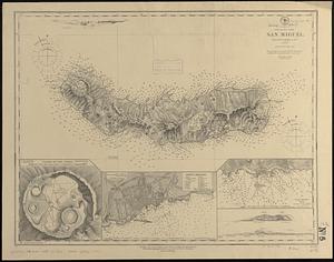
North Atlantic--Azores, San Miguel : from a British survey in 1844
7882.
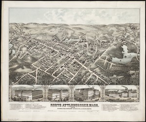
North Attleborough, Mass. 1878
7883.
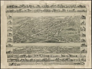
North Attleborough, Massachusetts : 1891
7884.
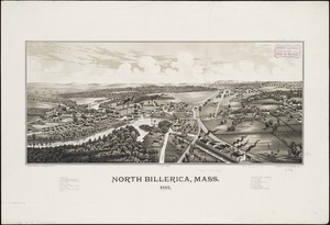
North Billerica, Mass : 1887
7885.
North Britain or Scotland divided into its counties : corrected from the best surveys & astronomical observations
7886.
North Brookfield, Mass : 1878
7887.
North Carolina
7888.
North Carolina
7889.
North Carolina & South Carolina
7890.
North Carolina form the best authorities. 1800
7891.
The north coast of the Gulf of Mexico, from St. Marks to Galveston
7892.
[North east coast of Nova Scotia and Northumberland Strait]
7893.
[North east coast of Nova Scotia and Northumberland Strait]
7894.
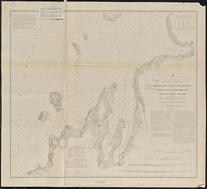
North east end of Lake Michigan including Grand and Little Traverse Bays and the Fox and Manitou Islands
7895.
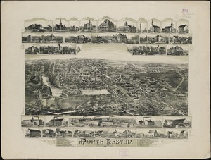
North Easton, Massachusetts : 1891
7896.
North end of Lake Michigan including Green Bay and the straits of Mackinac
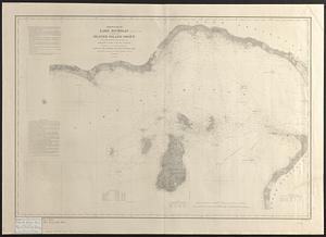
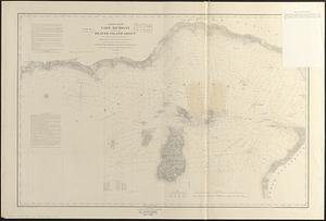
7897.
North end of Lake Michigan including the Beaver Island group
7898.
North end of Lake Michigan including the Beaver Island group
7899.
North Harvard project area : location map
7900.
North Harvard project area : land use of project area
‹ Prev
Next ›
1
2
…
391
392
393
394
395
396
397
398
399
…
701
702


![[North east coast of Nova Scotia and Northumberland Strait]](https://bpldcassets.blob.core.windows.net/derivatives/images/commonwealth:ws859h21d/image_thumbnail_300.jpg)
![[North east coast of Nova Scotia and Northumberland Strait]](https://bpldcassets.blob.core.windows.net/derivatives/images/commonwealth:ws859h23z/image_thumbnail_300.jpg)