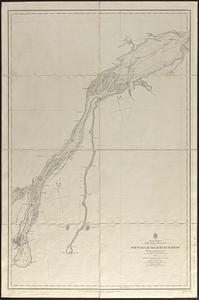
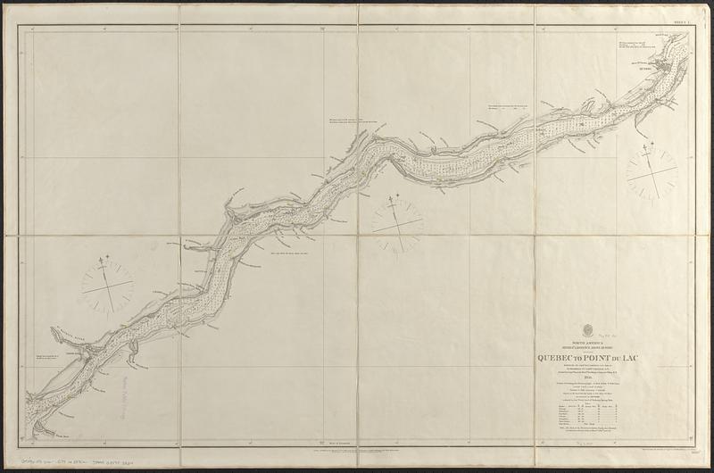
North America, River St. Lawrence above Quebec
Item Information
- Title:
- North America, River St. Lawrence above Quebec
- Title (alt.):
-
Sheet I, Quebec to Point du Lac
- Issuing body:
- Great Britain. Hydrographic Office
- Surveyor:
- Bayfield, Henry Wolsey, 1795-1885
- Surveyor:
- Orlebar, J., 1810-1891
- Engraver:
- Bedford, G. A. (George Augustus), 1809-1879
- Publisher:
- Great Britain. Admiralty
- Engraver:
- J. & C. Walker (Firm)
- Name on Item:
-
surveyed by Captn. H.W. Bayfield, R.N. 1831-37 ; re-examined by Commr. J. Orlebar, R.N., assisted by Commr. Hancock, Messrs. Des Brisay, Carey and Clifton, R.N., 1859 ; engraved under the direction of Capt. G.A. Bedford R.N., by J. & C. Walker
- Date:
-
1861
- Format:
-
Maps/Atlases
- Genre:
-
Nautical charts
- Location:
-
Boston Public Library
Norman B. Leventhal Map & Education Center - Collection (local):
-
Norman B. Leventhal Map & Education Center Collection
- Subjects:
-
Saint Lawrence River--Navigation--Maps
Nautical charts--Saint Lawrence River
- Places:
-
Saint Lawrence River
- Extent:
- 1 map ; 59 x 96 cm
- Terms of Use:
-
No known copyright restrictions.
No known restrictions on use.
- Publisher:
-
London :
Published at the Admiralty
- Scale:
-
Scale approximately 1:122,500
- Language:
-
English
- Notes:
-
Relief shown by hachures and spot heights. Depths shown by isolines and soundings.
"Published at the Admiralty 1st Nov. 1861 under the superintendence of Captn. Washington R.N., F.R.S. Hydrographer."
"Note: the chart of the St. Lawrence to Lachine Rapids above Montreal is continued on the same scale on sheet no. 2830b--price 1/6."
Includes tidal information.
"2830a"--Lower right margin.
- Identifier:
-
06_01_017057
- Call #:
-
G9096.P5 svar .G74 no. 2830a
- Barcode:
-
39999085953824