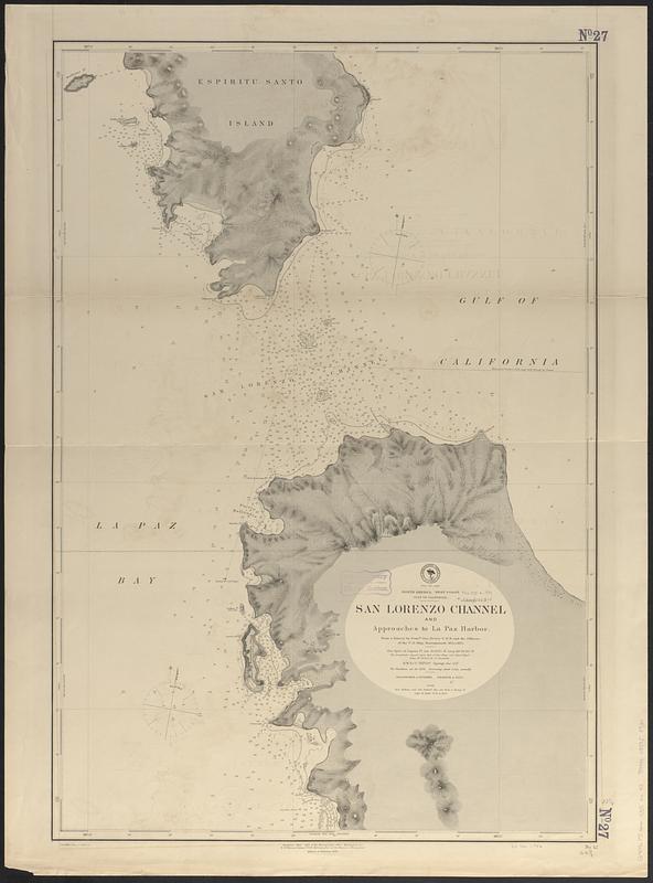
North America, west coast, Gulf of California, San Lorenzo Channel and approaches to La Paz Harbor : from a survey by Comdr. Geo. Dewey U.S.N. and the officers of the U.S. Ship Narragansett, 1874 & 1875
Item Information
- Title:
- North America, west coast, Gulf of California, San Lorenzo Channel and approaches to La Paz Harbor : from a survey by Comdr. Geo. Dewey U.S.N. and the officers of the U.S. Ship Narragansett, 1874 & 1875
- Issuing body:
- United States. Hydrographic Office
- Date:
-
[1889]
- Format:
-
Maps/Atlases
- Genre:
-
Nautical charts
- Location:
-
Boston Public Library
Norman B. Leventhal Map & Education Center - Collection (local):
-
Norman B. Leventhal Map & Education Center Collection
- Subjects:
-
San Lorenzo Channel (Mexico)--Maps
Nautical charts--Mexico--San Lorenzo Channel
- Places:
-
MexicoBaja California SurSan Lorenzo, Canal de (channel)
- Extent:
- 1 map ; 87 x 58 cm
- Terms of Use:
-
No known copyright restrictions.
No known restrictions on use.
- Publisher:
-
Washington, D.C. :
Hydrographic Office
- Edition:
- Edition of February 1889
- Scale:
-
Scale approximately 1:37,000
- Language:
-
English
- Notes:
-
Relief shown by hachures and spot heights. Depths shown by soundings and isolines.
- Notes (date):
-
This date is inferred.
- Identifier:
-
06_01_017437
- Call #:
-
G9096.P5 svar .U55 no. 42
- Barcode:
-
39999085958930


