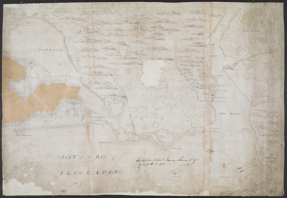
PART of the BAY of PLACENTIA
This map is also available in American Revolutionary Geographies Online (ARGO), a collections portal especially built for material relating to the American Revolutionary War Era. Visit ARGO to learn more about this item and explore the historical geography of North America in the late eighteenth century.
Item Information
- Title:
- PART of the BAY of PLACENTIA
- Former owner:
- Skinner, William, 1700-1780
- Former owner:
- Skinner, Monier
- Date:
-
[ca. 1770]
- Format:
-
Maps/Atlases
- Location:
- British Library
- Collection (local):
-
British Library Collection
- Subjects:
-
Military art and science--Newfoundland and Labrador--Placentia--Maps, Manuscript--Early works to 1800
Fortification--Newfoundland and Labrador--Placentia--Maps, Manuscript--Early works to 1800
Harbors--Newfoundland and Labrador--Placentia--Maps, Manuscript--Early works to 1800
Placentia (N.L.)--Maps, Manuscript--Early works to 1800
- Places:
-
CanadaPlacentia
- Extent:
- 1 map on 3 sheets : , joined, manuscript pen and ink with watercolour ; 47 x 72 cm
- Terms of Use:
-
No known copyright restrictions.
This work is licensed for use under a Creative Commons Attribution Non-Commercial Share Alike License (CC BY-NC-SA).

- Publisher:
-
[Place of production not identified] :
[producer not identified]
- Scale:
-
Scale not given
- Language:
-
English
- Catalog Record:
-
http://searcharchives.bl.uk/IAMS_VU2:IAMS040-002027386
- Notes:
-
Date attributed on stylistic grounds.
Relief shown pictorially.
North is oriented to the left of the map, indicated by a compass arrow.
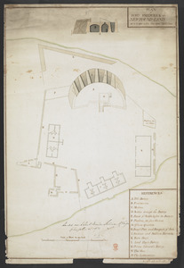
Shows "New Fort", "Old Fort" and other defences.
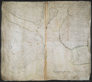
Copy at Add Ms 33,231.II.12. Comprises 3 sheets joined and laid on linen - a roll. Manuscript annotation at lower centre in black ink, "Handed over to Lieut. Monier Skinner R. Eng.r by his father in 1872" and initialled (by Monier Skinner?). Red stamp of British Museum at lower right. Pressmark stamped to verso and repeated in pencil.
- Notes (date):
-
9999