Toggle navigation
LMEC Home
Exhibitions
Georeferencing
Tools for Teachers
Collections
My Favorites
Sign Up / Log In
Search
Search the map portal
Map Collection
Map Collection
Map Sets
Search
Search
Search for
Search In
All Fields
Creator
Title
Subject
Place
Search All Digital Collections
Advanced Search
948 Results
My Search
Start Over
More Like
commonwealth-oai:7653bz003
Remove constraint More Like: commonwealth-oai:7653bz003
Filter your Search
Place
North and Central America
908
United States
637
Canada
216
New York
193
Quebec
114
Saint Lawrence River
66
Pennsylvania
60
New Jersey
54
more
Place
»
Topic
United States--History--Revolution, 1775-1783--Maps
305
United States--History--French and Indian War, 1754-1763--Maps
162
Saint Lawrence River--Maps
67
Newport (R.I.)--Maps
27
New York (State)--Maps
25
Québec (Québec)--Maps
24
Hudson River (N.Y. and N.J.)--Maps
21
Louisbourg (N.S.)--Maps
20
more
Topic
»
Date
Date range begin
–
Date range end
Current results range from
1700
to
1900
View distribution
Creator
Jefferys, Thomas, -1771
30
Montrésor, John, 1736-1799
29
Rocque, Mary Ann
29
Bellin, Jacques Nicolas, 1703-1772
28
Holland, Samuel, 1728-1801
28
Clinton, Henry, Sir, 1738?-1795
19
Robert Sayer and John Bennett (Firm)
16
Orme, Robert, -1781
14
more
Creator
»
Format
Maps/Atlases
932
Drawings/Illustrations
11
Documents
5
Manuscripts
1
Prints
1
Georeferenced
No
948
Collection
American Revolutionary War-Era Maps
943
William L. Clements Library Collection
909
Library and Archives Canada Collection
14
Norman B. Leventhal Map & Education Center Collection
9
American Antiquarian Society Collection
5
Richard H. Brown Revolutionary War Map Collection at Mount Vernon
4
MacLean Collection Map Library
3
New York Public Library Collection
3
more
Collection
»
Available to use
No known restrictions
10
Creative Commons license
7
Search Constraints
Sort by relevance
relevance
title
date (asc)
date (desc)
Number of results to display per page
20 per page
10
per page
20
per page
50
per page
100
per page
View results as:
grid view
map view
Search Results
161.
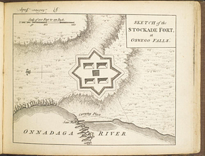
Sketch of the stockade fort, at Oswego Falls
162.
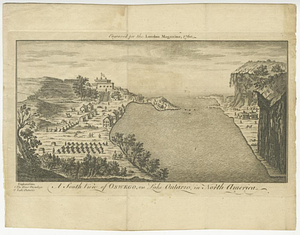
A south view of Oswego, on Lake Ontario, in North America
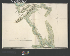
163.
Southern portion of Lake Megantic and the Dead River : Québec July 25th, 1761
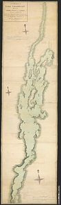
164.
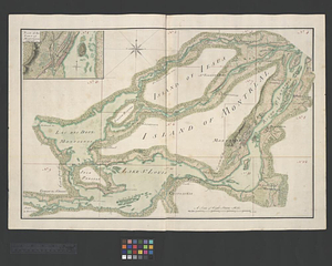
The St. Lawrence River between Coteau des Cedres and Varennes
165.
A survey of Lake Champlain including Crown Point and St: John's : surveyed by order of his excellency Major Genl: Sir Jeffery...
166.
A survey of the city and fortress of Louisbourg, the harbour, and their environs, from Fresh Water Cove in Gabarouse Bay to...
167.
Upper New York, Vermont, and Massachusetts
168.
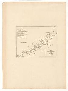
Western shore of Jesus Island and Mille Îles River
169.
Canada, Louisiane et terres angloises
170.
Canada, Louisiane et terres angloises
171.
Canada, Louisiane et terres angloises
172.
A chart of Canada River : from ye island of Anticosty as far up as Quebeck, ye islands, locks, shoals, & soundings as they...
173.
Cours du fleuve St. Laurent : deuxieme feuille : depuis Quebec jusqu'au havre des Papinachouas
174.
Cours du fleuve St. Laurent : premiere feuille : contenant depuis le Lac Ontario jusqu'a Quebec
175.
Cours du fleuve St. Laurent : troisieme feuille : depuis le mont Camille jusqu'a l'isle d'Anticosti
176.
Iroquois or St. Lawrence
177.
A map of part of Canada for the use of His Majesty's Secretary of State, compiled in the Surveyor Generals Office, pursuant to...
178.
A map of the several dispositions of the English fleet & army on the river S.t Laurence, to the taking of Quebec
179.
A new map of the province of Quebec, : according to the Royal proclamation, of the 7th of October 1763
180.
A new map of the province of Quebec, : according to the Royal proclamation, of the 7th of October 1763
‹ Prev
Next ›
1
2
…
5
6
7
8
9
10
11
12
13
…
47
48