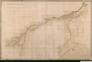
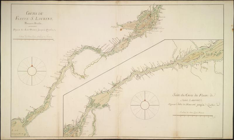
Cours du fleuve St. Laurent : premiere feuille : contenant depuis le Lac Ontario jusqu'a Quebec
This map is also available in American Revolutionary Geographies Online (ARGO), a collections portal especially built for material relating to the American Revolutionary War Era. Visit ARGO to learn more about this item and explore the historical geography of North America in the late eighteenth century.
Item Information
- Title:
- Cours du fleuve St. Laurent : premiere feuille : contenant depuis le Lac Ontario jusqu'a Quebec
- Cartographer:
- Bellin, Jacques Nicolas, 1703-1772
- Date:
-
[1752]
- Format:
-
Maps/Atlases
- Genre:
-
Manuscript maps
- Location:
- Library and Archives Canada
- Collection (local):
-
Library and Archives Canada Collection
- Subjects:
-
Saint Lawrence River--Maps
Canada--Maps--Early works to 1800
New France--Maps
- Places:
-
Saint Lawrence River
New France
- Extent:
- 1 manuscript map : hand color ; 55 x 87 cm
- Terms of Use:
-
Copyright expired. Contact host institution to download image.
Contact host institution for more information.
- Place of origin:
-
Paris
- Language:
-
French
- Catalog Record:
-
Catalog record
- Notes:
-
Part of Cartes de la Nouvelle-France ou Canada, a manuscript atlas by Jacques-Nicolas Bellin, 1752 (5 maps on 7 sheets).
- Notes (date):
-
This date is inferred.
- Identifier:
-
e008222097
- Barcode:
-
3693635