Toggle navigation
LMEC Home
Exhibitions
Georeferencing
Tools for Teachers
Collections
My Favorites
Sign Up / Log In
Search
Search the map portal
Map Collection
Map Collection
Map Sets
Search
Search
Search for
Search In
All Fields
Creator
Title
Subject
Place
Search All Digital Collections
Advanced Search
8719 Results
My Search
Start Over
More Like
commonwealth:x059cd487
Remove constraint More Like: commonwealth:x059cd487
Filter your Search
Place
North and Central America
5,938
United States
4,863
Massachusetts
2,079
Europe
1,396
Suffolk (county)
1,046
Boston
1,019
Canada
450
Asia
438
more
Place
»
Topic
Boston (Mass.)--Maps
586
United States--Maps
282
Real property--Massachusetts--Boston--Maps
175
Massachusetts--Maps
162
Landowners--Massachusetts--Boston--Maps
133
North America--Maps--Early works to 1800
105
New England--Maps
102
Europe--Maps
79
more
Topic
»
Date
Date range begin
–
Date range end
Current results range from
1482
to
2023
View distribution
Creator
United States. Hydrographic Office
595
O.H. Bailey & Co
148
Des Barres, Joseph F. W. (Joseph Frederick Wallet), 1722-1824
123
United States. Post Office Dept
120
Ptolemy, 2nd cent
100
Walling, Henry Francis, 1825-1888
94
Geological Survey (U.S.)
86
Jefferys, Thomas, -1771
86
more
Creator
»
Format
Maps/Atlases
8,659
Manuscripts
215
Prints
56
Books
36
Objects/Artifacts
10
Drawings/Illustrations
8
Posters
5
Georeferenced
Yes
869
No
7,850
Collection
Norman B. Leventhal Map & Education Center Collection
8,694
Boston and New England Maps
2,233
Urban Maps
2,023
Maritime Charts and Atlases
1,083
American Revolutionary War-Era Maps
640
Boston Redevelopment Authority Collection
87
Richard H. Brown Revolutionary War Map Collection at Mount Vernon
10
Harvard Map Collection
3
more
Collection
»
Available to use
No known restrictions
8,555
Creative Commons license
65
Search Constraints
Sort by relevance
relevance
title
date (asc)
date (desc)
Number of results to display per page
20 per page
10
per page
20
per page
50
per page
100
per page
View results as:
grid view
map view
Search Results
4741.
Mediolanum ducatus
4742.
Mediterranean, anchorages on the east coast of Spain : from Spanish government surveys of 1878
4743.
Mediterranean, harbors on the south coast of Italy : from Italian government surveys in 1866-1874 ; republication of Brit....
4744.
Mediterranean, New Mole Harbor, Gibraltar
4745.
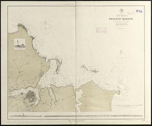
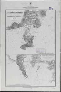
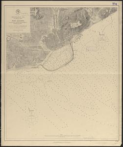
Mediterranean Sea, Adriatic--coast of Italy, Brindisi Harbor : from an Italian survey in 1872, corrected to 1876 ;...
4746.
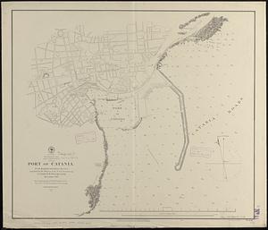
Mediterranean Sea, east coast of Sicily, Port of Catania
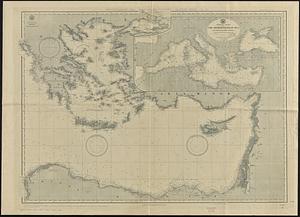
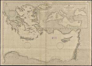
4747.
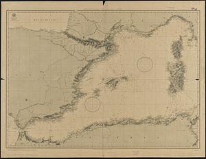
Mediterranean Sea, eastern sheet
4748.
Mediterranean Sea, eastern sheet
4749.
Mediterranean Sea, harbors on the south coast of Sardinia : from a British survey in 1865 ; republished from British Admiralty...
4750.
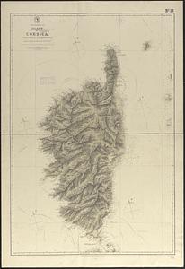
Mediterranean Sea, island of Corsica
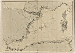
4751.
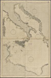
Mediterranean Sea, middle sheet
4752.
Mediterranean Sea, middle sheet
4753.
Mediterranean Sea, plans on the coasts of Italy and Sicilia
4754.
Mediterranean Sea, Port of Algier and approaches
4755.
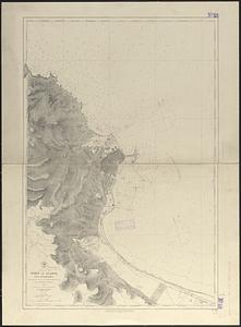
Mediterranean Sea, s.e. coast of Spain, Port Alicante
4756.
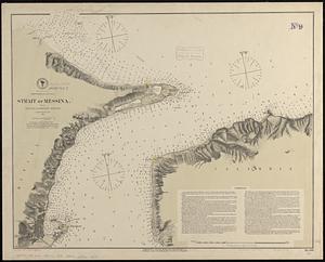
Mediterranean Sea, Strait of Messina : from French and British surveys, corrected to 1871
4757.
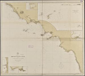
Mediterranean Sea, the west coast of Italy, sheet III, from Civita Vecchia to the Gulf of S. Eufemia
4758.
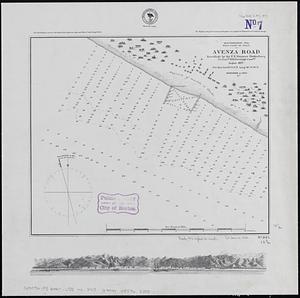
Mediterranean Sea, west coast of Italy, Avenza Road
4759.
Mediterranean Sea, western sheet
4760.
Mediterranean Sea, western sheet
‹ Prev
Next ›
1
2
…
234
235
236
237
238
239
240
241
242
…
435
436