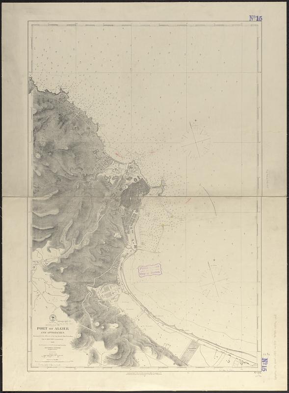
Mediterranean Sea, Port of Algier and approaches
Item Information
- Title:
- Mediterranean Sea, Port of Algier and approaches
- Issuing body:
- United States. Hydrographic Office
- Surveyor:
- Mouchez, Ernest Amédée Barthélemy, 1821-1892
- Name on Item:
-
surveyed by the officers of the Imp. French Ship Travailleur, Capt. E. Mouchez commanding, 1869
- Date:
-
1877
- Format:
-
Maps/Atlases
- Genre:
-
Nautical charts
- Location:
-
Boston Public Library
Norman B. Leventhal Map & Education Center - Collection (local):
-
Norman B. Leventhal Map & Education Center Collection
- Subjects:
-
Algiers (Algeria)--Maps
Harbors--Algeria--Algiers--Maps
Nautical charts--Algeria--Algiers
- Places:
-
AlgeriaAlgiers (province)Algiers
- Extent:
- 1 map ; 84 x 56 cm
- Terms of Use:
-
No known copyright restrictions.
No known restrictions on use.
- Publisher:
-
Washington, D.C. :
Hydrographic Office
- Scale:
-
Scale approximately 1:11,000
- Language:
-
English
- Notes:
-
Relief shown by hachures and spot heights. Depths shown by soundings and isolines.
Manuscript annotations in red ink.
- Identifier:
-
06_01_017675
- Call #:
-
G9096.P5 svar .U55 no. 808
- Barcode:
-
39999085961348


