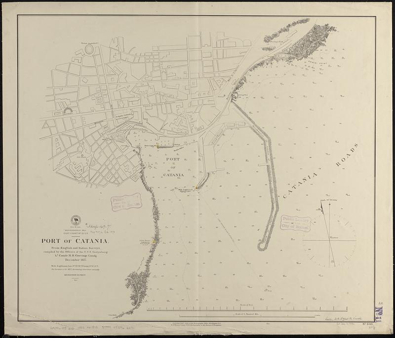
Mediterranean Sea, east coast of Sicily, Port of Catania
Item Information
- Title:
- Mediterranean Sea, east coast of Sicily, Port of Catania
- Issuing body:
- United States. Hydrographic Office
- Surveyor:
- Gorringe, Henry H. (Henry Honeychurch), 1841-1885
- Name on Item:
-
from English and Italian surveys, compiled by the officers of the U.S.S. Gettysburg, Lt. Comdr. H.H. Gorringe comdg., December 1877
- Date:
-
1878
- Format:
-
Maps/Atlases
- Genre:
-
Nautical charts
- Location:
-
Boston Public Library
Norman B. Leventhal Map & Education Center - Collection (local):
-
Norman B. Leventhal Map & Education Center Collection
- Subjects:
-
Catania (Italy)--Maps
Harbors--Italy--Catania--Maps
Nautical charts--Italy--Catania
- Places:
-
ItalySicily (region)Catania (province)Catania
- Extent:
- 1 map ; 57 x 66 cm
- Terms of Use:
-
No known copyright restrictions.
No known restrictions on use.
- Publisher:
-
Washington, D.C. :
Hydrographic Office
- Scale:
-
Scale approximately 1:3,700
- Language:
-
English
- Notes:
-
Relief shown by hachures. Depths shown by soundings and isolines.
- Identifier:
-
06_01_017715
- Call #:
-
G9096.P5 svar .U55 no. 848
- Barcode:
-
39999085962270


