Toggle navigation
LMEC Home
Exhibitions
Georeferencing
Tools for Teachers
Collections
My Favorites
Sign Up / Log In
Search
Search the map portal
Map Collection
Map Collection
Map Sets
Search
Search
Search for
Search In
All Fields
Creator
Title
Subject
Place
Search All Digital Collections
Advanced Search
8832 Results
My Search
Start Over
More Like
commonwealth:w9505r89v
Remove constraint More Like: commonwealth:w9505r89v
Filter your Search
Place
North and Central America
6,009
United States
4,859
Massachusetts
2,079
Europe
1,396
Suffolk (county)
1,046
Boston
1,019
Canada
454
Asia
441
more
Place
»
Topic
Boston (Mass.)--Maps
586
United States--Maps
282
North America--Maps--Early works to 1800
240
Real property--Massachusetts--Boston--Maps
175
Massachusetts--Maps
162
Landowners--Massachusetts--Boston--Maps
133
New England--Maps
102
Europe--Maps
79
more
Topic
»
Date
Date range begin
–
Date range end
Current results range from
1482
to
2023
View distribution
Creator
United States. Hydrographic Office
595
O.H. Bailey & Co
148
Des Barres, Joseph F. W. (Joseph Frederick Wallet), 1722-1824
123
United States. Post Office Dept
120
Ptolemy, 2nd cent
100
Walling, Henry Francis, 1825-1888
94
Jefferys, Thomas, -1771
92
Sayer, Robert, 1725-1794
87
more
Creator
»
Format
Maps/Atlases
8,772
Manuscripts
217
Prints
56
Books
36
Objects/Artifacts
10
Drawings/Illustrations
8
Posters
5
Georeferenced
Yes
872
No
7,960
Collection
Norman B. Leventhal Map & Education Center Collection
8,704
Boston and New England Maps
2,234
Urban Maps
2,023
Maritime Charts and Atlases
1,083
American Revolutionary War-Era Maps
738
Boston Redevelopment Authority Collection
87
MacLean Collection Map Library
59
New York Public Library Collection
32
more
Collection
»
Available to use
No known restrictions
8,556
Creative Commons license
111
Search Constraints
Sort by relevance
relevance
title
date (asc)
date (desc)
Number of results to display per page
20 per page
10
per page
20
per page
50
per page
100
per page
View results as:
grid view
map view
Search Results
3921.
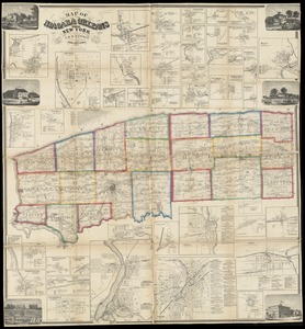
Map of Niagara and Orleans Counties, New York
3922.
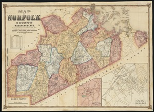
Map of Norfolk County, Massachusetts : based upon the trigonometrical survey of the state
3923.
Map of North America : showing all routes to Alaska and Klondike country
3924.
Map of North America
3925.
Map of North America : reduced from map on scale of 1:5,000,000
3926.
Map of North America
3927.
Map of North America : to illustrate facts of geographical distribution
3928.
A map of North America, denoting the boundaries of the yearly meetings of Friends and the locations of the various Indian tribes
3929.
Map of North America showing the two lines of frontier as settled in October and November 1782 respectively by Mr. Oswald, the...
3930.
Map of North Carolina
3931.
Map of North Carolina
3932.
Map of north eastern China
3933.
Map of northern Georgia
3934.
Map of northern Luzon
3935.
Map of northern Luzon, showing a portion of the field of operations of the 8th Army Corps, Major General Elwell S. Otis commanding
3936.
Map of northern part of New York City
3937.
Map of Nova Scotia, or Acadia : with the islands of Cape Breton and St. John's, from actual surveys
3938.
Map of Oklahoma Territory
3939.
Map of Ontario and Quebec showing location and capacity of flour mills and elevators
3940.
Map of Ontario County, New York : from actual surveys
‹ Prev
Next ›
1
2
…
193
194
195
196
197
198
199
200
201
…
441
442