Map of northern part of New York City
Item Information
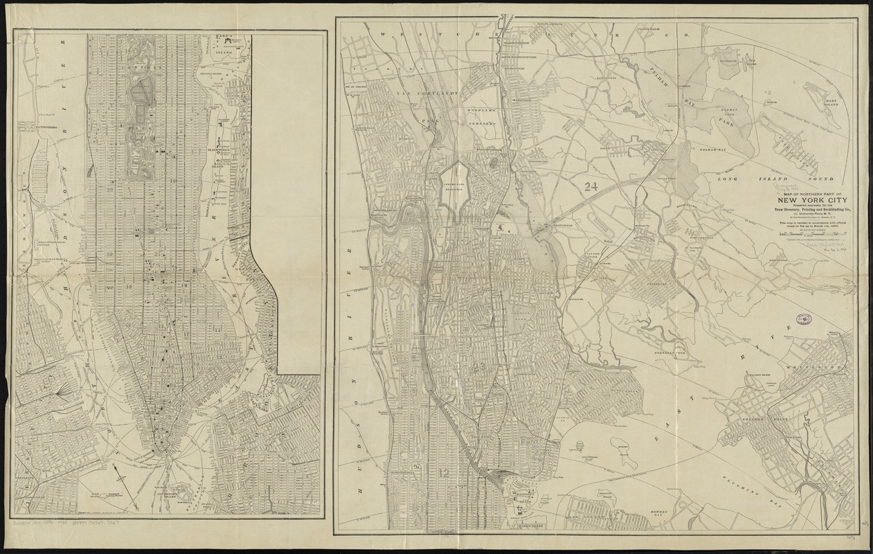
- Title:
- Map of northern part of New York City
- Creator:
- Matthews-Northrup Company
- Name on Item:
-
prepared expressly for the Trow Directory, Printing and Bookbinding Co. by the Matthws-Northrup Co.
- Date:
-
[ca. 1896]
- Format:
-
Maps/Atlases
- Location:
-
Boston Public Library
Norman B. Leventhal Map & Education Center - Collection (local):
-
Norman B. Leventhal Map & Education Center Collection
- Subjects:
-
Ferries--New York (State)--New York--Maps
Shipping--New York (State)--New York--Maps
New York (N.Y.)--Maps
Manhattan (New York, N.Y.)--Maps
Bronx (New York, N.Y.)--Maps
- Places:
-
New YorkNew YorkBronx
New YorkNew YorkManhattan
- Extent:
- 1 map in 2 sections on 1 sheet ; 130 x 67 cm., sheet 72 x 115 cm.
- Terms of Use:
-
No known copyright restrictions.
No known restrictions on use.
- Publisher:
-
Buffalo, N.Y :
Matthews-Northrup Co.
- Scale:
-
Scale [ca. 1:21,500]
- Language:
-
English
- Notes:
-
This map is revised in accordance with official maps on file up to March 1st. 1896.
Oriented with north toward the upper left.
Also shows adjacent parts of eastern New Jersey.
Shows ferry routes and shipping lines.
Includes radial distances at 1 mile intervals from City Hall.
Section showing lower New York City copyright 1884.
- Identifier:
-
06_01_010749
- Call #:
-
G3804.N4 1896 .M38
- Barcode:
-
39999065677237


