Map of Oklahoma Territory
Item Information
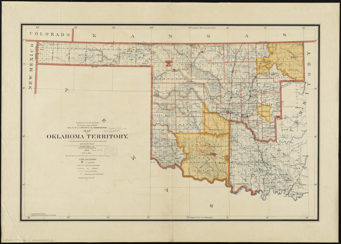
- Title:
- Map of Oklahoma Territory
- Creator:
- United States. General Land Office
- Name on Item:
-
compiled from the official records of the General Land Office and other sources, under the direction of Harry King ; compiled by R.P. Lowe ; lettered and corrected for re-issue by M. Hendges.
- Date:
-
1894
- Format:
-
Maps/Atlases
- Location:
-
Boston Public Library
Norman B. Leventhal Map & Education Center - Collection (local):
-
Norman B. Leventhal Map & Education Center Collection
- Subjects:
-
Indians of North America--Oklahoma--Maps
Indian Territory--Maps
Oklahoma--Maps
- Places:
-
Oklahoma
- Extent:
- 1 map : col. ; 58 x 89 cm.
- Terms of Use:
-
No known copyright restrictions.
No known restrictions on use.
- Publisher:
-
[Washington, D.C.] :
General Land Office
- Scale:
-
Scale [ca. 1:762,000]
- Language:
-
English
- Notes:
-
Relief shown by shading.
Shows roads, trails, railroads (proposed and contructed), U.S. land offices, and townships not subdivided.
Map shows organized incorporated Oklahoma territory and Indian territory from 1890 before Oklahoma was admitted as a state.
At head of title: Department of the Interior, General Land Office, Hon. S.W. Lamoreux, commissioner.
Prime meridians: Washington and Greenwich.
- Identifier:
-
06_01_008863
- Call #:
-
G4020 1894 .U55
- Barcode:
-
39999065657536


