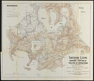
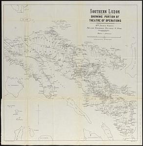
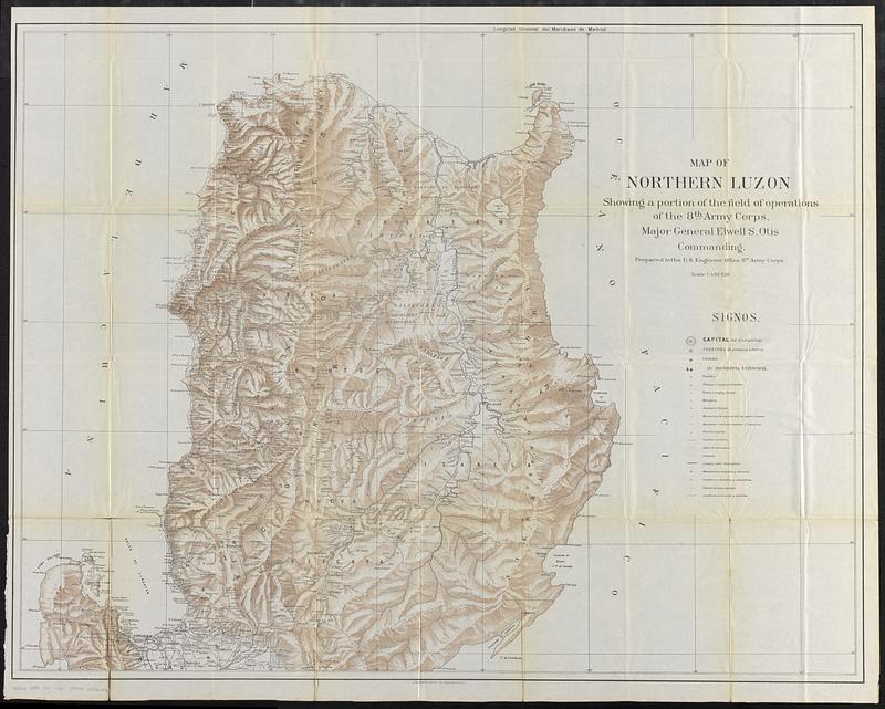
Map of northern Luzon, showing a portion of the field of operations of the 8th Army Corps, Major General Elwell S. Otis commanding
Item Information
- Title:
- Map of northern Luzon, showing a portion of the field of operations of the 8th Army Corps, Major General Elwell S. Otis commanding
- Description:
-
Military map of the northern part of the island of Luzon in the Philippines during the Philippine American War. Coverage includes the Lingayen Gulf and all points to the north.
- Cartographer:
- United States. Army. Corps of Engineers. Engineer Office
- Lithographer:
- Andrew B. Graham Co.
- Name on Item:
-
prepared in the U.S. Engineer Office 8th Army Corps
- Date:
-
[1900]
- Format:
-
Maps/Atlases
- Location:
-
Boston Public Library
Norman B. Leventhal Map & Education Center - Collection (local):
-
Norman B. Leventhal Map & Education Center Collection
- Subjects:
-
Philippines--History--Philippine American War, 1899-1902--Maps
Luzon (Philippines)--Maps
- Places:
-
PhilippinesLuzon (island)
- Extent:
- 1 map : color ; 81 x 105 cm
- Terms of Use:
-
No known copyright restrictions.
No known restrictions on use.
- Publisher:
-
[Washington, D.C.] :
[Government Printing Office]
- Scale:
-
Scale 1:400,000
- Language:
-
English
Spanish
- Notes:
-
Relief shown by shading and spot heights.
Prime meridian: Madrid.
From Annual reports of the War Department for the fiscal year ended June 30, 1900. Report of the Lieutenant General commanding the army (Washington : Government Printing Office, 1900).
- Notes (date):
-
This date is inferred.
- Notes (language):
-
Title in English. Map and legend in Spanish.
- Identifier:
-
06_01_018383
- Call #:
-
G8062.L8S1 1900 .U52
- Barcode:
-
39999085966826