Toggle navigation
LMEC Home
Exhibitions
Georeferencing
Tools for Teachers
Collections
My Favorites
Sign Up / Log In
Search
Search the map portal
Map Collection
Map Collection
Map Sets
Search
Search
Search for
Search In
All Fields
Creator
Title
Subject
Place
Search All Digital Collections
Advanced Search
165 Results
My Search
Start Over
More Like
commonwealth:j3865883p
Remove constraint More Like: commonwealth:j3865883p
Filter your Search
Place
North and Central America
142
United States
134
Massachusetts
109
Middlesex (county)
17
Caribbean Sea
14
West Indies
14
Bristol (county)
9
Atlantic Ocean
8
more
Place
»
Topic
Massachusetts--Maps
19
Caribbean Area--Maps
14
West Indies--Maps
14
Atlantic Coast (U.S.)--Maps
6
North Atlantic Ocean--Maps
6
North Atlantic Ocean--Navigation
6
Dedham (Mass.)--Maps
4
Election districts--Massachusetts--Maps
4
more
Topic
»
Date
Date range begin
–
Date range end
Current results range from
1758
to
2010
View distribution
Creator
Applied Geographics, Inc.
61
MassGIS (Office : Mass.)
56
Massachusetts. Executive Office of Environmental Affairs
32
Geological Survey (U.S.)
9
Massachusetts Bays Program
8
Massachusetts Coastal Zone Management Office
8
National Ocean Survey
6
Massachusetts. Department of Environmental Protection
4
more
Creator
»
Format
Maps/Atlases
164
Ephemera
1
Georeferenced
Yes
9
No
156
Collection
Norman B. Leventhal Map & Education Center Collection
159
Applied Geographics, Inc. Records
143
Boston and New England Maps
117
Urban Maps
28
Maritime Charts and Atlases
20
American Revolutionary War-Era Maps
6
Maps from AAS
6
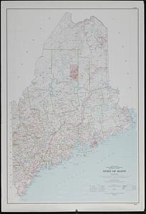
Available to use
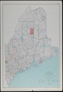
No known restrictions
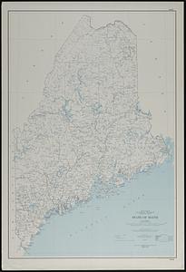
158
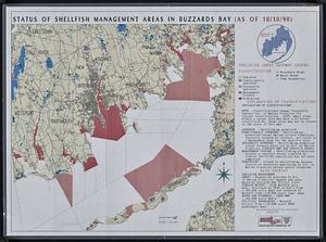
Search Constraints
Sort by relevance
relevance
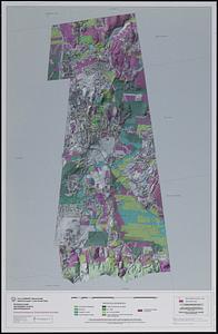
title
date (asc)
date (desc)
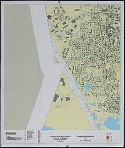
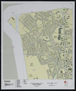
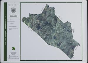
Number of results to display per page
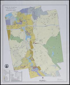
20 per page
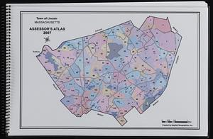
10
per page
20
per page
50
per page
100
per page
View results as:
grid view
map view
Search Results
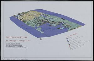
121.
Selected land use in oblique perspective
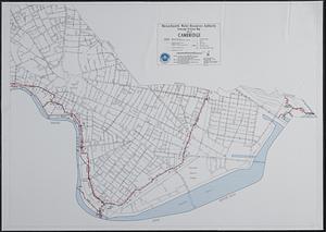
122.
Sewerage division map city of Cambridge
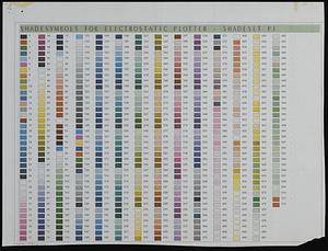
123.
Shade symbols for electrostatic plotter - shadeset P1
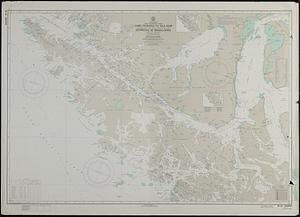
124.
South America, Chile--southwest coast, Cabo Deseado to Isla Noir including the western part of Estrecho de Magallanes (Strait...
125.
State of Maine : base map with highways and contours
126.
State of Maine : base map with highways and contours
127.
State of Maine : base map
128.
Status of shellfish management areas in Buzzards Bay (as of 10/10/90)
129.
Stoneham drain lines checkplot map sheet 3
130.
Stoneham sewer lines checkplot map sheet 1
131.
Swampscott, landuse change 1971-1985
132.
Town of Amherst, Massachusetts build out analysis - future growth study : protected lands, developable lands & new development...
133.
Town of Berkley, Massachusetts [property atlas]
134.
Town of Dedham, Norfolk County, Massachusetts
135.
Town of Grafton, Massachusetts, zoning map
136.
Town of Lincoln, Massachusetts assessor's atlas
137.
Town of North Attleborough Bristol County, Massachusetts : street map
138.
Town of Norton, Massachusetts [property atlas]
139.
Town of Plymouth [land development planning]
140.
Town of Plymouth [land development planning]
‹ Prev
Next ›
1
2
3
4
5
6
7
8
9

![Town of Berkley, Massachusetts [property atlas]](https://bpldcassets.blob.core.windows.net/derivatives/images/commonwealth:bk12fb77t/image_thumbnail_300.jpg)

![Town of Norton, Massachusetts [property atlas]](https://bpldcassets.blob.core.windows.net/derivatives/images/commonwealth:3x81cp972/image_thumbnail_300.jpg)
![Town of Plymouth [land development planning]](https://bpldcassets.blob.core.windows.net/derivatives/images/commonwealth:tt44v120f/image_thumbnail_300.jpg)
![Town of Plymouth [land development planning]](https://bpldcassets.blob.core.windows.net/derivatives/images/commonwealth:wh24cv585/image_thumbnail_300.jpg)