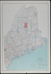
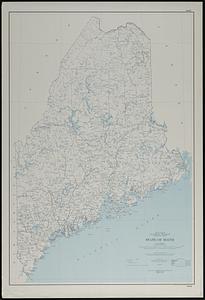
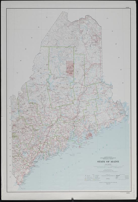
State of Maine : base map with highways and contours
Item Information
- Title:
- State of Maine : base map with highways and contours
- Publisher:
- Geological Survey (U.S.)
- Name on Item:
-
compiled, edited, and published by the Geological Survey
- Date:
-
1983
- Format:
-
Maps/Atlases
- Genre:
-
Outline maps
- Location:
-
Boston Public Library
Norman B. Leventhal Map & Education Center - Collection (local):
-
Applied Geographics, Inc. Records
- Subjects:
-
Maine--Maps
- Places:
-
Maine
- Extent:
- 1 map : color ; 101 x 68 cm
- Terms of Use:
-
No known copyright restrictions.
No known restrictions on use.
- Publisher:
-
Reston, Virginia :
Geological Survey
- Edition:
- Revised 1973.
- Scale:
-
Scale 1:500,000
- Projection:
- Lambert conformal conic projection
- Language:
-
English
- Notes:
-
Relief shown by contours and spot heights.
Sources: Geological Survey and Corps of Engineers topographic maps.
Contour interval 200 feet. National geodetic vertical datum of 1929.
1927 North American datum.
Originally compiled 1958.
- Identifier:
-
06_01_019118
- Call #:
-
AppGeo Folder 37 no.10