Toggle navigation
LMEC Home
Exhibitions
Georeferencing
Tools for Teachers
Collections
My Favorites
Sign Up / Log In
Search
Search the map portal
Map Collection
Map Collection
Map Sets
Search
Search
Search for
Search In
All Fields
Creator
Title
Subject
Place
Search All Digital Collections
Advanced Search
165 Results
My Search
Start Over
More Like
commonwealth:j3865883p
Remove constraint More Like: commonwealth:j3865883p
Filter your Search
Place
North and Central America
142
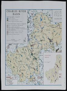
United States
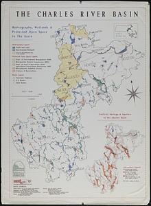
134
Massachusetts
109
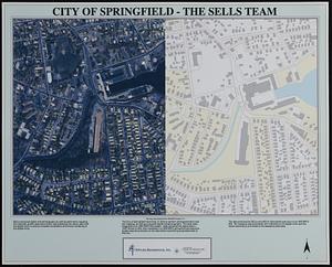
Middlesex (county)
17
Caribbean Sea
14
West Indies
14
Bristol (county)
9
Atlantic Ocean
8
more
Place
»
Topic
Massachusetts--Maps
19
Caribbean Area--Maps
14
West Indies--Maps
14
Atlantic Coast (U.S.)--Maps
6
North Atlantic Ocean--Maps
6
North Atlantic Ocean--Navigation
6
Dedham (Mass.)--Maps
4
Election districts--Massachusetts--Maps
4
more
Topic
»
Date
Date range begin
–
Date range end
Current results range from
1758
to
2010
View distribution
Creator
Applied Geographics, Inc.
61
MassGIS (Office : Mass.)
56
Massachusetts. Executive Office of Environmental Affairs
32
Geological Survey (U.S.)
9
Massachusetts Bays Program
8
Massachusetts Coastal Zone Management Office
8
National Ocean Survey
6
Massachusetts. Department of Environmental Protection
4
more
Creator
»
Format
Maps/Atlases
164
Ephemera
1
Georeferenced
Yes
9
No
156
Collection
Norman B. Leventhal Map & Education Center Collection
159
Applied Geographics, Inc. Records
143
Boston and New England Maps
117
Urban Maps
28
Maritime Charts and Atlases
20
American Revolutionary War-Era Maps
6
Maps from AAS
6
Available to use
No known restrictions
158
Search Constraints
Sort by relevance
relevance
title
date (asc)
date (desc)
Number of results to display per page
20 per page
10
per page
20
per page
50
per page
100
per page
View results as:
grid view
map view
Search Results
21.
Map of the United States of America, the British Provinces, Mexico, the West Indies and Central America, with part of New...
22.
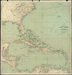
Map of the West Indies
23.
A new and correct map of the American islands, now called the West Indies, : with the whole coast of the neighbouring continent
24.
The West India Islands and adjacent territory showing British possessions south of the United States
25.
West Indies
26.
The West Indies, and Gulf of Mexico, : from the latest discoveries and best observations
27.
1985 land use in the Mass. Turnpike corridor
28.
Agriculture and wellhead protection in the Connecticut Valley
29.
Appalachian region, as designated by the Appalachian Regional Commission 1967
30.
The Appalachian trail in Massachusetts
31.
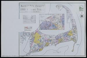
Barnstable County 1990 census tracts
32.
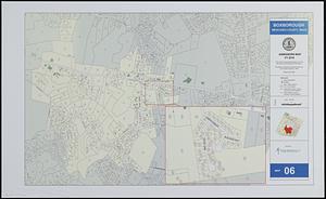
Boxborough, Middlesex County, Mass map 06
33.
[Buildout analysis] New Bedford, Massachusetts
34.
The Charles River basin
35.
The Charles River basin : hydrography, wetlands & protected open space in the basin
36.
City of Boston open space
37.
City of Boston planimetric survey sheet no. 23I
38.
City of Springfield
39.
City of Waltham, Massachusetts [assessors atlas]
40.
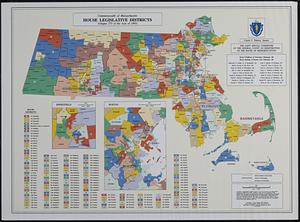
Commonwealth of Massachusetts House legislative districts : (Chapter 273 of the Acts of 1993)
‹ Prev
Next ›
1
2
3
4
5
6
…
8
9


![[Buildout analysis] New Bedford, Massachusetts](https://bpldcassets.blob.core.windows.net/derivatives/images/commonwealth:v405z947d/image_thumbnail_300.jpg)


![City of Waltham, Massachusetts [assessors atlas]](https://bpldcassets.blob.core.windows.net/derivatives/images/commonwealth:cj82r8418/image_thumbnail_300.jpg)