Toggle navigation
LMEC Home
Exhibitions
Georeferencing
Tools for Teachers
Collections
My Favorites
Sign Up / Log In
Search
Search the map portal
Map Collection
Map Collection
Map Sets
Search
Search
Search for
Search In
All Fields
Creator
Title
Subject
Place
Search All Digital Collections
Advanced Search
194 Results
My Search
Start Over
More Like
commonwealth:bk12fb804
Remove constraint More Like: commonwealth:bk12fb804
Filter your Search
Place
North and Central America
183
United States
170
Massachusetts
109
Maine
53
Middlesex (county)
17
Bristol (county)
9
Canada
8
Plymouth (county)
8
more
Place
»
Topic
Maine--Maps
53
Massachusetts--Maps
19
New Hampshire--Maps
7
Railroads--Maine--Maps
5
Vermont--Maps
5
Canada--Boundaries--United States--Maps
4
Counties--Maine--Maps
4
Dedham (Mass.)--Maps
4
more
Topic
»
Date
Date range begin
–
Date range end
Current results range from
1754
to
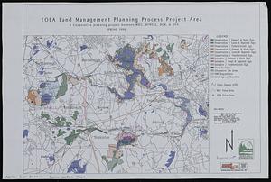
2010
View distribution
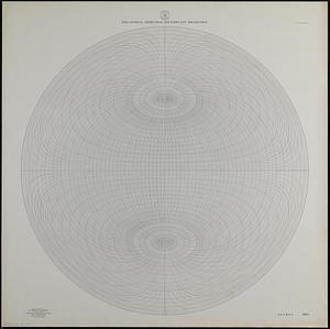
Creator
Applied Geographics, Inc.
61
MassGIS (Office : Mass.)
56
Massachusetts. Executive Office of Environmental Affairs
32
Geological Survey (U.S.)
10
Massachusetts Bays Program
8
Massachusetts Coastal Zone Management Office
8
Carleton, Osgood, 1742-1816
7
National Ocean Survey
6
more
Creator
»
Format
Maps/Atlases
193
Manuscripts
3
Ephemera
1
Objects/Artifacts
1
Georeferenced
Yes
3
No
191
Collection
Norman B. Leventhal Map & Education Center Collection
176
Applied Geographics, Inc. Records
143
Boston and New England Maps
143
Urban Maps
28
Maritime Charts and Atlases
17
American Revolutionary War-Era Maps
16
American Antiquarian Society Collection
8
William L. Clements Library Collection
6
more
Collection
»
Available to use
No known restrictions
176
Creative Commons license
1
Search Constraints
Sort by relevance
relevance
title
date (asc)
date (desc)
Number of results to display per page
20 per page
10
per page
20
per page
50
per page
100
per page
View results as:
grid view
map view
Search Results
61.
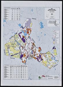
[Buildout analysis] New Bedford, Massachusetts
62.
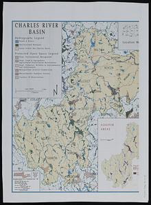
The Charles River basin
63.
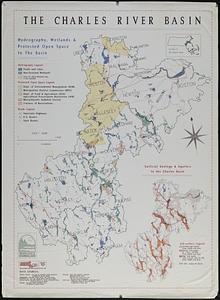
The Charles River basin : hydrography, wetlands & protected open space in the basin
64.
City of Boston open space
65.
City of Boston planimetric survey sheet no. 23I
66.
City of Springfield
67.
City of Waltham, Massachusetts [assessors atlas]
68.
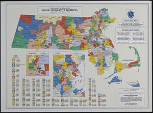
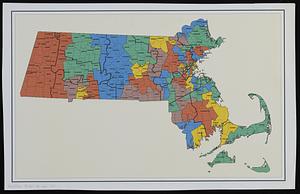
Commonwealth of Massachusetts House legislative districts : (Chapter 273 of the Acts of 1993)
69.
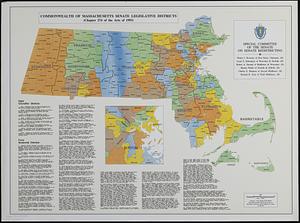
Commonwealth of Massachusetts Senate legislative districts : (Chapter 274 of the Acts of 1993)
70.
Cromeset Neck
71.
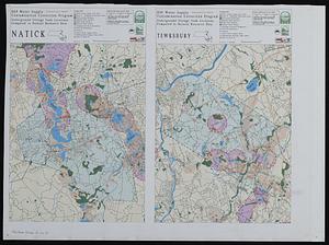
DEP water supply contamination correction program underground storage tank locations compared to natural resource data
72.
Developable lands and partial constraints : town of Taunton
73.
DFWELE land showing 1985-1990 acquisitions
74.
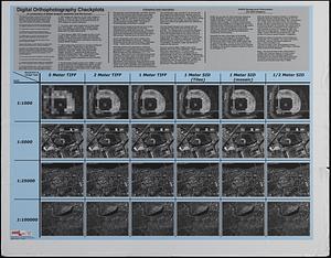
Digital orthography checkplots : a comparison of digital imagery resolution and file format
75.
Dorchester Bay
76.
Draft of a map of 1993 Massachusetts Senate legislative districts
77.
Eastern encephalitis risk area
78.
EOEA land management planning process project area : a cooperative planning project between MDC, DFWELE, DEM, & DFA
79.
EOEA wide area network
80.
Equatorial azimuthal equidistant projection
‹ Prev
Next ›
1
2
3
4
5
6
7
8
9
10
![[Buildout analysis] New Bedford, Massachusetts](https://bpldcassets.blob.core.windows.net/derivatives/images/commonwealth:v405z947d/image_thumbnail_300.jpg)


![City of Waltham, Massachusetts [assessors atlas]](https://bpldcassets.blob.core.windows.net/derivatives/images/commonwealth:cj82r8418/image_thumbnail_300.jpg)