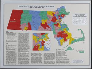
Commonwealth of Massachusetts Senate legislative districts : (Chapter 274 of the Acts of 1993)
Item Information
- Title:
- Commonwealth of Massachusetts Senate legislative districts : (Chapter 274 of the Acts of 1993)
- Cartographer:
- Applied Geographics, Inc.
- Issuing body:
- Massachusetts. General Court. Senate. Special Committee of the Senate on Senate Redistricting
- Contributor:
- MassGIS (Office : Mass.)
- Name on Item:
-
Special Committee of the Senate on Senate Redistricting ; community - county basemap: EOEA MassGIS ; Senate district boundaries: Election Data Services, Inc. ; map design & production: Applied Geographics, Inc.
- Date:
-
1994
- Format:
-
Maps/Atlases
- Genre:
-
Outline maps
Thematic maps
- Location:
-
Boston Public Library
Norman B. Leventhal Map & Education Center - Collection (local):
-
Applied Geographics, Inc. Records
- Subjects:
-
Massachusetts--Administrative and political divisions--Election districts--Maps
Election districts--Massachusetts--Maps
Legislators--Massachusetts
Massachusetts. General Court. Senate
United States. Congress. Senate
- Places:
-
Massachusetts
- Extent:
- 1 map : color ; 63 x 86 cm, on sheet 68 x 91 cm
- Terms of Use:
-
No known copyright restrictions.
No known restrictions on use.
- Publisher:
-
Boston :
Applied Geographics, Inc.
- Scale:
-
Scale 1:380,000
- Language:
-
English
- Notes:
-
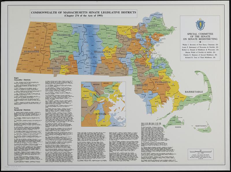
Includes inset map of Boston metropolitan area and description of eight Councillor Districts and forty Senatorial Districts.
"10-AUG-1994."
- Identifier:
-
06_01_018990
- Call #:
-
AppGeo Folder 5 no. 4
- Barcode:
-
30000007789900