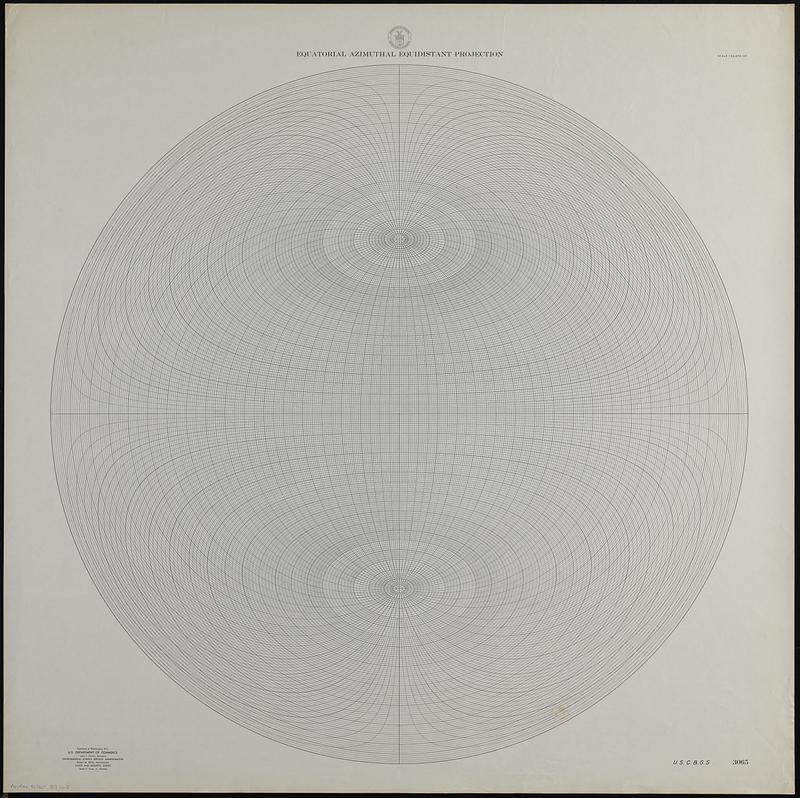
Equatorial azimuthal equidistant projection
Item Information
- Title:
- Equatorial azimuthal equidistant projection
- Cartographer:
- U.S. Coast and Geodetic Survey
- Name on Item:
-
U.S.C. & G.S.
- Date:
-
[ca. 1940–1949]
- Format:
-
Maps/Atlases
- Genre:
-
World maps
- Location:
-
Boston Public Library
Norman B. Leventhal Map & Education Center - Collection (local):
-
Applied Geographics, Inc. Records
- Subjects:
-
Azimuthal equidistant projection (Cartography)--Maps
- Extent:
- 1 map ; hemisphere 77 cm in diameter, on sheet 86 x 86 cm
- Terms of Use:
-
No known copyright restrictions.
No known restrictions on use.
- Publisher:
-
Washington, D.C. :
U.S. Dept. of Commerce, Environmental Science Services Administration, Coast and Geodetic Survey
- Scale:
-
Scale 1:52,670,165
- Projection:
- Azimuthal equidistant projection
- Language:
-
English
- Notes:
-
"3065."
- Identifier:
-
06_01_019115
- Call #:
-
AppGeo Folder 37 no.5


