Toggle navigation
LMEC Home
Exhibitions
Georeferencing
Tools for Teachers
Collections
My Favorites
Sign Up / Log In
Search
Search the map portal
Map Collection
Map Collection
Map Sets
Search
Search
Search for
Search In
All Fields
Creator
Title
Subject
Place
Search All Digital Collections
Advanced Search
8658 Results
My Search
Start Over
More Like
commonwealth:6t053p88b
Remove constraint More Like: commonwealth:6t053p88b
Filter your Search
Place
North and Central America
5,897
United States
4,810
Massachusetts
2,071
Europe
1,392
Suffolk (county)
1,041
Boston
1,014
Canada
449
Asia
437
more
Place
»
Topic
Boston (Mass.)--Maps
582
United States--Maps
279
Real property--Massachusetts--Boston--Maps
175
Massachusetts--Maps
161
Landowners--Massachusetts--Boston--Maps
133
North America--Maps--Early works to 1800
103
New England--Maps
101
Europe--Maps
79
more
Topic
»
Date
Date range begin
–
Date range end
Current results range from
1482
to
2023
View distribution
Creator
United States. Hydrographic Office
595
O.H. Bailey & Co
148
Des Barres, Joseph F. W. (Joseph Frederick Wallet), 1722-1824
123
United States. Post Office Dept
120
Ptolemy, 2nd cent
100
Walling, Henry Francis, 1825-1888
94
Geological Survey (U.S.)
86
Jefferys, Thomas, -1771
86
more
Creator
»
Format
Maps/Atlases
8,598
Manuscripts
215
Prints
56
Books
36
Objects/Artifacts
10
Drawings/Illustrations
8
Posters
5
Georeferenced
Yes
869
No
7,789
Collection
Norman B. Leventhal Map & Education Center Collection
8,646
Boston and New England Maps
2,223
Urban Maps
1,992
Maritime Charts and Atlases
1,083
American Revolutionary War-Era Maps
624
Boston Redevelopment Authority Collection
87
MacLean Collection Map Library
5
British Library Collection
3
more
Collection
»
Available to use
No known restrictions
8,504
Creative Commons license
53
Search Constraints
Sort by relevance
relevance
title
date (asc)
date (desc)
Number of results to display per page
20 per page
10
per page
20
per page
50
per page
100
per page
View results as:
grid view
map view
Search Results
1.
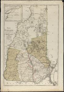
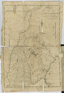
An accurate map of His Majesty's province of New-Hampshire in New England : taken from actual surveys of all the inhabited...
2.
An Accurate map of New Hampshire in New England, from a late survey
3.
New Hampshire
4.
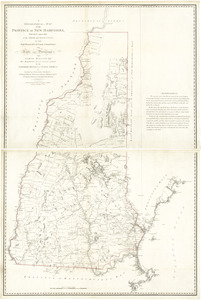
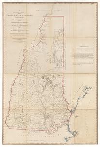
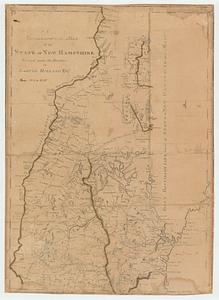
A topographical map of the state of New Hampshire
5.
An accurate map of His Majesty's province of New-Hampshire in New England : taken from actual surveys of all the inhabited...
6.
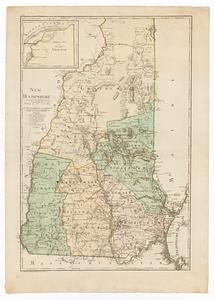
A topographical map of the Province of New Hampshire
7.
An accurate map of His Majesty's province of New Hampshire in New England, taken from actual surveys of all the inhabited part,...
8.
A chorographical map of the northern department of North-America
9.
A Copy of the Plan returned by his Maj:tys Com:rs for setling the Boundarys between the Provinces of New Hampshire and the...
10.
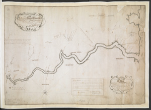
A Map Of the River MERRIMACK from the Atlantick Ocean to Pantuckett Falls describing bounds between His Maj:tys Province of New...
11.
A new and accurate map of the present seat of war in North America : from a late survey
12.
New Hampshire
13.
A new map of New Hampshire
14.
A PLAN of the Rivers and Boundary Lines referr'd to in ye Proceedings & Judgment of ye Commissioners for adjusting the Bounds...
15.
A topographical map of the province of New Hampshire : surveyed agreeably to the orders and instructions of the right...
16.
A topographical map of the state of New Hampshire
17.
The 100th anniversary map of Abraham Lincoln's visit to Massachusetts, September 11-23, 1848
18.
1630 shoreline
19.
1879. Progress map of the U.S. Geographical Surveys west of the 100th Meridian : prepared under the direction of 1st Lieut....
20.
1903 Map of Salem and surrounding places
‹ Prev
Next ›
1
2
3
4
5
…
432
433