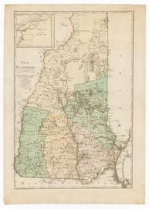
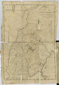
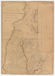
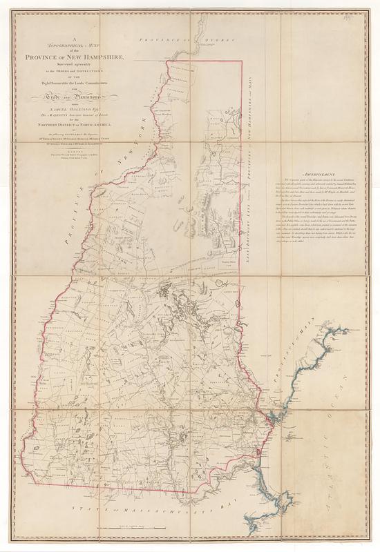
A topographical map of the province of New Hampshire : surveyed agreeably to the orders and instructions of the right honourable the lords commissioners for trade and plantations; unto Samuel Holland esq.r His Majesty's Surveyor General of Lands for the Northern District of North America
This map is also available in American Revolutionary Geographies Online (ARGO), a collections portal especially built for material relating to the American Revolutionary War Era. Visit ARGO to learn more about this item and explore the historical geography of North America in the late eighteenth century.
Item Information
- Title:
- A topographical map of the province of New Hampshire : surveyed agreeably to the orders and instructions of the right honourable the lords commissioners for trade and plantations; unto Samuel Holland esq.r His Majesty's Surveyor General of Lands for the Northern District of North America
- Contributor:
- Holland, Samuel, 1728-1801
- Publisher:
- Faden, William, 1749-1836
- Name on Item:
-
by the following gentlemen his deputies M.r Thomas Wright, M.r George Sproule, M.r James Grant. M.r Thomas Wheeler & M.r Charles Blaskowitz
- Date:
-
March 1, 1784
- Format:
-
Maps/Atlases
- Location:
- MacLean Collection Map Library
- Collection (local):
-
MacLean Collection Map Library
- Subjects:
-
New Hampshire--Maps--Early works to 1800
- Places:
-
New Hampshire
- Extent:
- 1 map ; 1182 x 796 mm
- Terms of Use:
-
Public Domain/No known restrictions on use. Contact host institution to download image.
Contact host institution for more information.
- Publisher:
-
London :
Printed for William Faden, geographer to the king. Charing-Cross
- Edition:
- First state
- Language:
-
English
- Identifier:
-
MC_3245
- Call #:
-
3245